Before you start any project that requires breaking ground, you need to know what’s going on underground. GIS systems can aid in underground utility mapping and other subsurface infrastructure. Utilizing GIS for mapping utilities has a variety of benefits and helps your crews collect data more efficiently.
Geographic information systems (GIS) will provide extremely accurate utility location information. GIS software compiles gathered GIS data in one place, creating maps in real time with the most relevant data at your fingertips. In fact, many GIS platforms have mobile apps. These apps allow for easy data collection and access to data from anywhere.
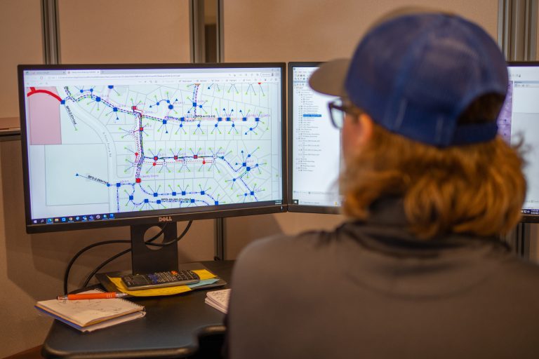
GIS for Utility Mapping
From gas lines, to telecommunication lines, to electric utilities and pipes, GIS is extremely important for data collection. GIS ensures that your field crews have accurate location data.
Before you dig, it is important to have an accurate, up-to-date map of what’s going on underground. Many utility companies only have access to old maps that may not have all the data you need to safely dig. Accidental utility strikes are not only dangerous, but also add extra cost and time to a project.
There are a variety of benefits to using GIS in your underground utility mapping operations. Continue reading our guide to learn about the intersection of GIS and mapping underground utilities.
Better Planning
One of the biggest benefits of GIS for utility mapping is better project planning. Your project managers can better plan for projects and foresee potential risks with better access to data. GIS ensures accurate data and reduces the risk of a utility strike.
GIS systems allow you to easily visualize your data. With data visualizations, you can better understand how it exists within the environment and the context of the project.
Carefully plan around existing infrastructure and predict where potential issues may arise. With a proper understanding of existing lines, you can plan better. From cost analysis to timelines and more, you can plan more effectively and ensure a successful project.
Efficiency
Another huge benefit of using GIS technology for utility mapping is efficiency. These systems drive efficiency in a variety of ways including in data collection, data visualization, decision making, and for utility operations.
For example, GIS data can be used to create simulations and visualizations to see what will work best. By doing so, you can predict potential problems before they occur and plan for them. Projects can be done without expensive, time-consuming reworks, saving your crews time and your company money.
Another situation where GIS can drive efficiency is in asset management. GIS allows you to easily manage your assets in terms of maintenance, repairs, inspection, and more. GIS can be used to streamline asset management procedures and easily manage all of your assets, saving your company time and money.
Cost Management and Cost Savings
Using GIS can help save you money and keep projects on budget. With more efficient operations, reduce your excess labor, material, and equipment costs.
In addition, data is more accessible and located in one centralized place. This ensures everyone has access to the most up-to-date information when they need it. Data can be accessed quickly and efficiently, saving you money.
GIS software can be used to address common pain points. These pain points include tedious manual processes such as creating reports, creating paper maps, and compiling data. Implementing GIS allows you to automate these tasks and operate more efficiently saving you time and money.
Accessibility
GIS applications make your data incredibly accessible to all stakeholders during a project. These systems compile all of your data, even from multiple sources, all in one place. You can easily track multiple projects from one centralized place.
Data can be quickly processed and analyzed. Everything is updated in real time, including digital maps, projections, and more with GIS technology.
In Summary
Utilizing GIS in your utility mapping operations is extremely beneficial. Make better decisions, save time, and save money with GIS software. By using GIS with your utility mapping operations, drive insights and increase access to information across your organization.