Benefits of GIS Utility Mapping
Before you start any project that requires breaking ground, you need to know what’s going on underground. GIS systems can aid in underground utility mapping
Before you start any project that requires breaking ground, you need to know what’s going on underground. GIS systems can aid in underground utility mapping
Geographic Information Systems (GIS) are powerful tools for managing, analyzing and visualizing data related to geography. GIS is used in a variety of industries, from

In recent years, Geographic Information Systems (GIS) have revolutionized the way utilities and civil engineering projects are managed and maintained. From improving the efficiency of

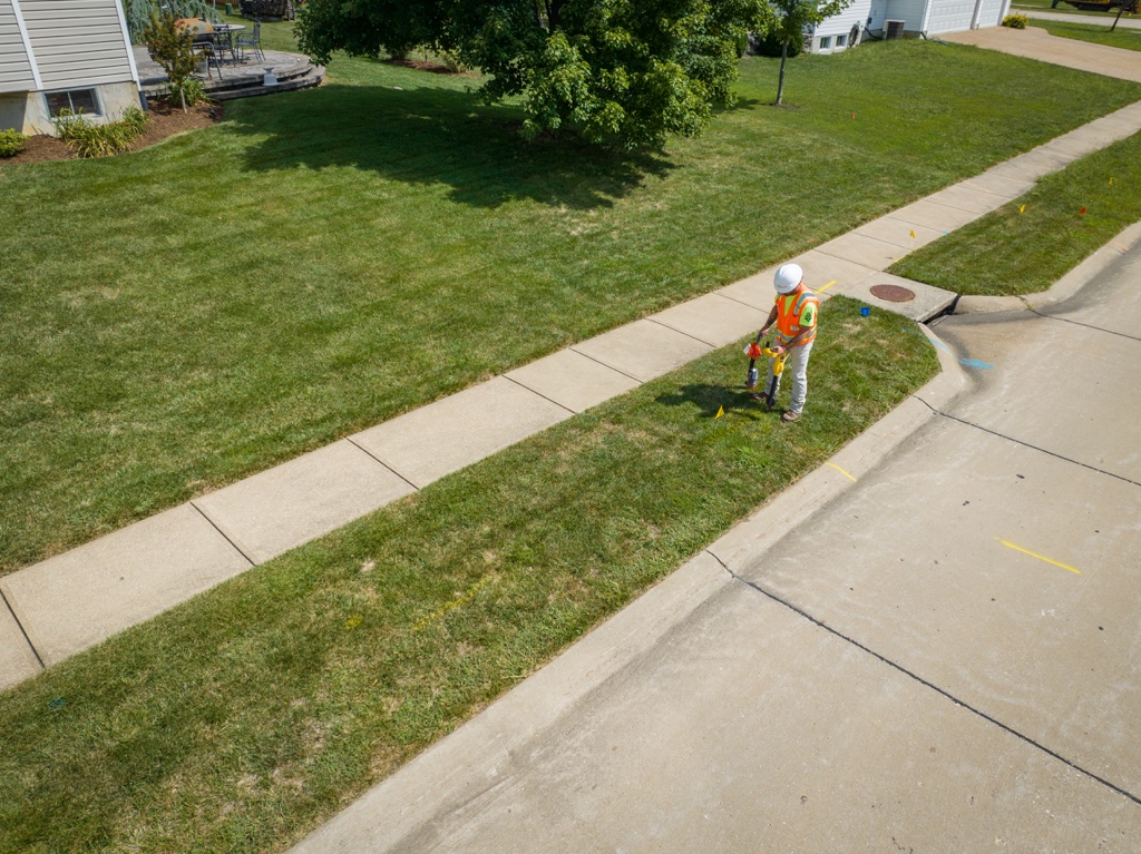
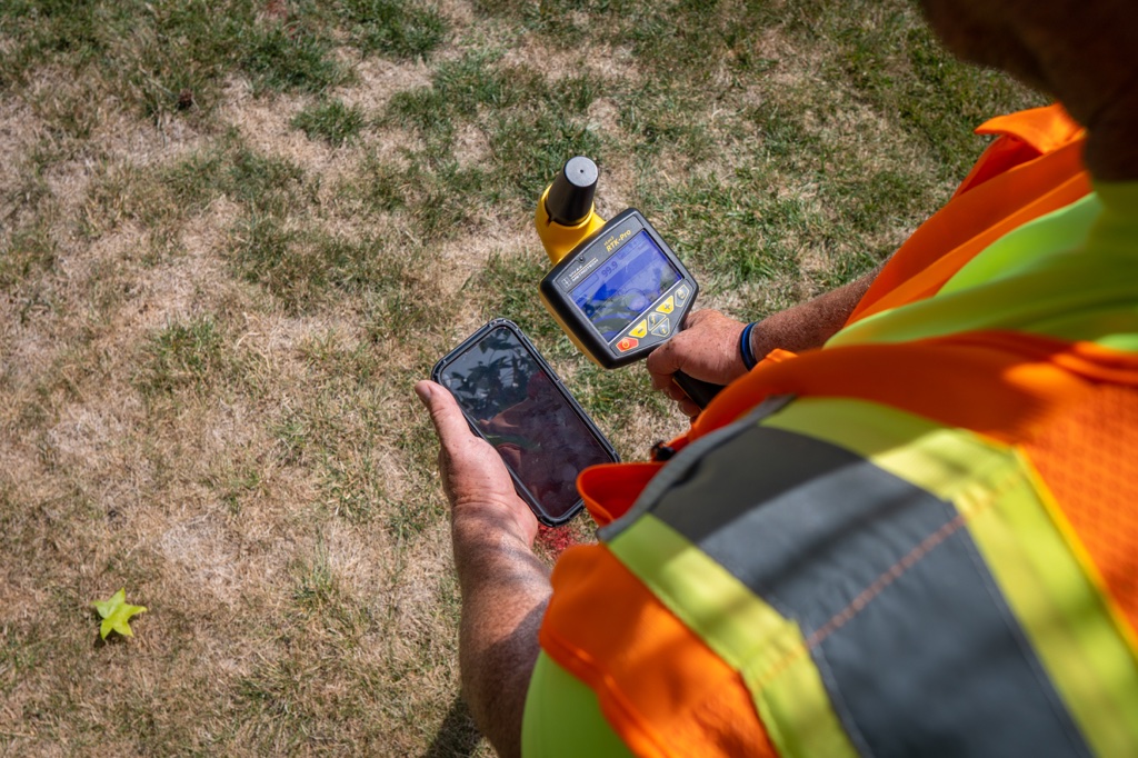
Utility surveys and utility mapping often involve gathering location based information. This is because having a thorough record of utility information is critical for utility
Geographic data management, analysis, and visualization are important parts of utilities management. Using GIS systems for mapping utility locations and keeping track of data comes

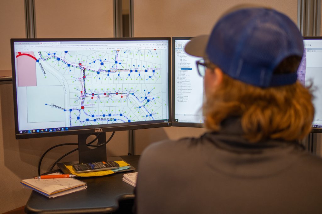
Utility maps are created to illustrate the exact location of subsurface utilities, and paired with utility records, can even provide information as to utility and

Advances in technology are always aimed at improving the traditional way of doing things and enhancing the efficiency of any operation. Because of the importance