For cities, mapping underground utilities is critical to maintaining infrastructure. Underground utility mapping is often overlooked, but having accurate data about underground infrastructure is paramount to running efficient and functional urban areas. Utility mapping is the process of finding, identifying, and analyzing utility data.
Advanced technologies are used in combination with surveying to locate a wide range of utility lines underground. Utility companies do this to ensure accurate and complete information of what is going on underground. Utility locating can be used to better plan and design upcoming construction projects. It can also be used for grid expansion and to minimize potential service disruptions from accidental utility strikes.
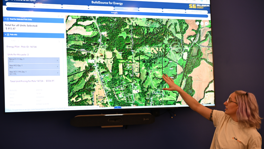
Many mapping platforms allow you to locate and map utilities all in one place. These platforms are often cloud-based and integrate directly with your equipment.
Using mapping software allows your crews to easily and efficiently locate underground utilities. These platforms automatically create maps in real time. This gives all stakeholders access to the most up-to-date information as possible.
Why are Utility Maps Important
Before we dive into why utility maps are important, let’s go over what utility mapping is. Utility mapping is a process that is used to find, map, and document the location of utility lines underground. These lines may be electric lines, water pipes, gas lines, or telecommunications lines. The insights gained through utility mapping are used for urban planning, infrastructure development, and maintenance of the utility network.
Having accurate, up-to-date utility maps is essential for city planners and engineers. These maps are used to plan and design infrastructure projects. With up-to-date maps, protect your crews, avoid costly utility strikes, and mitigate service disruptions.
Utility mapping is important for both city planners and the residents that live in the community. Accurate maps enable reliable utility services and decrease outages. These maps will also improve response times during emergencies.
Challenges of Mapping Subsurface Infrastructure
When mapping subsurface utilities, there are few common challenges. One of the biggest challenges to mapping is lack of visibility. As the name suggests, underground utilities are underground. This means they are not visible to the naked eye and are not easily accessible.
The visibility and accessibility of these networks can make it difficult to pinpoint their exact location and size. In addition, these networks are intertwined, meaning there are layers of pipes and cables that must be mapped.
Another huge challenge utility locators face is the lack of current records. Many utility records are outdated and do not reflect the most up-to-date information. Often, changes are made to the network with no documentation.
These changes can cause gaps in the record. These gaps may lead to discrepancies between the recorded location and the actual location of the line. Inaccurate records can cause costly utility strikes and service disruptions.
Mapping Tools and Integrating Data
There are a few different tools and techniques that can be used to map utilities. One the best things you can do when mapping utilities is to integrate all of your data to create comprehensive maps. There are platforms out there made to integrate all of your data sources seamlessly.
You can combine existing maps, imagery, and GPR surveys to create a holistic view of subsurface utility networks. Leverage all of your data and enhance the accuracy of your maps. In addition, integrating your data you can verify and ensure all of your data is accurate across all sources.
With fully integrated data, utility maps show the full picture. Utility networks are complex, with many different layers. By integrating your data into one map, you can see all of these layers in one place. Better understand how utility networks work, how each part interacts with the rest of the network and with the city as a whole.
By integrating data, you can ensure utility coordinates are precise and that maps are complete. An example of this is taking an existing utility map and combining it with information with recently installed parts of the network. By doing so, you are ensuring your map shows the full picture and contains the most up-to-date information.
Another huge benefit of integrating data from multiple sources is that it makes utility mapping more efficient. Many mapping platforms will automatically integrate all your mapping together, saving you time on manual processes. Another way that this can save time is through utilizing existing maps. By using existing data, you can streamline the mapping process.
In Summary
Mapping our cities gives us better visibility into our important infrastructure. Utility maps give us important insights into what is going on underneath our feet.
They allow city planners and engineers to make better decisions for upcoming network expansion and infrastructure projects. They help reduce utility strikes and service disruptions and aid in maintenance. Utility mapping has a profound impact on a variety of stakeholders, including city officials, engineers, and city residents.