What is GIS?
GIS stands for Geographic Information Systems. These powerful systems have the ability to map all types of data, from spatial information to descriptive landscape qualities. By linking spreadsheets and tables that contain location data to GIS software, various styles of maps and imagery can be produced and from different types of location data. Additionally, robust spatial analyses can be performed.
Using GIS Services for Utility Management
GIS software for the management of utilities is an incredibly valuable tool. GIS allows for the mapping and tracking of various elements of infrastructure associated with your operation. This applies to any utility service, whether it be gas, electric, or water utilities.
It is particularly useful for subsurface utilities, where identifying and tracking their underground location is essential for inspection, maintenance, and future construction or excavation within their vicinity.
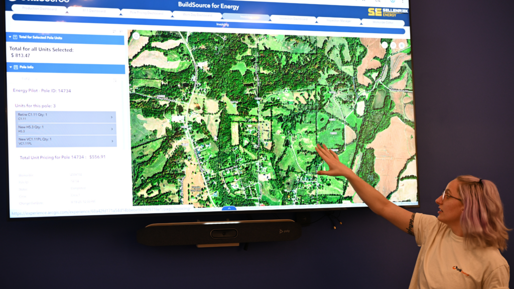
Infrastructure and Utility Network Mapping and Imagery
When using GIS software, the physical structure of your utility systems and networks can be modeled onto a digital platform. It uses geographic, spatial, and descriptive quality information associated with your pipes, cables, and surrounding ground or infrastructure. This allows the visualization of these networks, even in 3D and interactive formats.
These maps and spatial analysis results can be accessed by mobile phones or other mobile devices by stakeholders, operational managers, and workers in real time during field operations. This facilitates efficient utility asset management, reducing time and cost with quick access to location information.
Data Management and Analysis
Data management, data sharing, and analysis are an important part of utility management. The amount of data utility field workers generate is ever increasing. By modeling your infrastructure using GIS for utilities, data can be stored and organized based on location. This means critical information regarding a particular utility asset can be retrieved rapidly. Problem solving and planning for the future can happen in real time with location based analysis, no matter the data being collected. (i.e., raster data).
Inspection and Servicing Management
GIS technologies can be accompanied by inspection management software. Rather than collecting inspection data based on a utility’s map and manually entering in the data to store in separate files, it can be uploaded and integrated into the GIS data store. Data collected during inspections can be implemented into the utility GIS configuration in real time, where managers can track progress throughout field operations.
GIS-based project management softwares can also serve to logically group and scheduled maintenance activities. This is extremely useful especially when different sections of utility lines need to be parceled out to different workers. The ease of tracking workers’ progress guarantees efficiency and thorough communication among all parties involved.
UtiliSource GIS Services and Software
UtiliSource is a brand-leading provider of geographic information system services. Our software offers innovative solutions for streamlining field operations, enhancing communication, and upgrading utility companies’ location services.
At UtiliSource, we set ourselves apart from other software and utility service providers by offering real-time information dashboards and custom web mapping applications. Whether your team needs updates during construction projects, needs effective inspection workflows, or stronger communication between the crew and operational managers, UtiliSource’s software allows quick and up-to-date visualization of project status and will meet your needs.
UtiliSource has everything you need to succeed in utilities management. Call us or explore our website today to learn more about what our innovative services have to offer!