Geographic Information Systems (GIS) are powerful tools for managing, analyzing and visualizing data related to geography. GIS is used in a variety of industries, from business and industry to government and education. An example is creating digital maps, analyzing spatial data, managing assets, and supporting urban planning based GIS. Here are a few applications used to improve operations and decision making.

GIS Technology
GIS technology can be used to collect and manage geographic data, such as points, lines and polygons. This data can then be used to create digital maps, which can be used to analyze patterns, trends and relationships. For example, GIS data can be used to analyze the road network of a city or the locations of natural resources. GIS software can also be used to create 3D models of terrain, making it useful for environmental studies or disaster management.
Asset Management Operations
GIS technology is also used to support asset management operations. For example, GIS can be used to monitor and track assets such as vehicles, equipment and personnel. GIS data can also be used to optimize routes and schedules, helping organizations improve efficiency and reduce costs.
Urban Planning
GIS is also used in urban planning. GIS data can be used to analyze population trends, identify land-use patterns, and assess the impact of proposed projects. GIS technology can be used to create detailed urban models that can help planners develop more efficient and effective solutions.
Data Collection
Data collection and analysis is another way to use GIS technology. GIS data can be used to track the spread of diseases, analyze the impacts of climate change, and monitor environmental conditions. GIS technology can also be used to create raster data, which can be used to create detailed maps and visualizations.
Google Maps
Google Maps is a popular example of GIS system technology in action. Google Maps uses GIS map data and provides directions to users. It is a powerful tool for navigation and can be used to plan routes and optimize trips.
In summary, GIS technology is a powerful tool for managing and analyzing geographic data. GIS can be used to create digital maps, spatial analysis, manage assets, support urban planning and more. GIS technology has become increasingly popular in recent years, and it’s clear that it is here to stay.
GIS Technology for Utility Management Operations
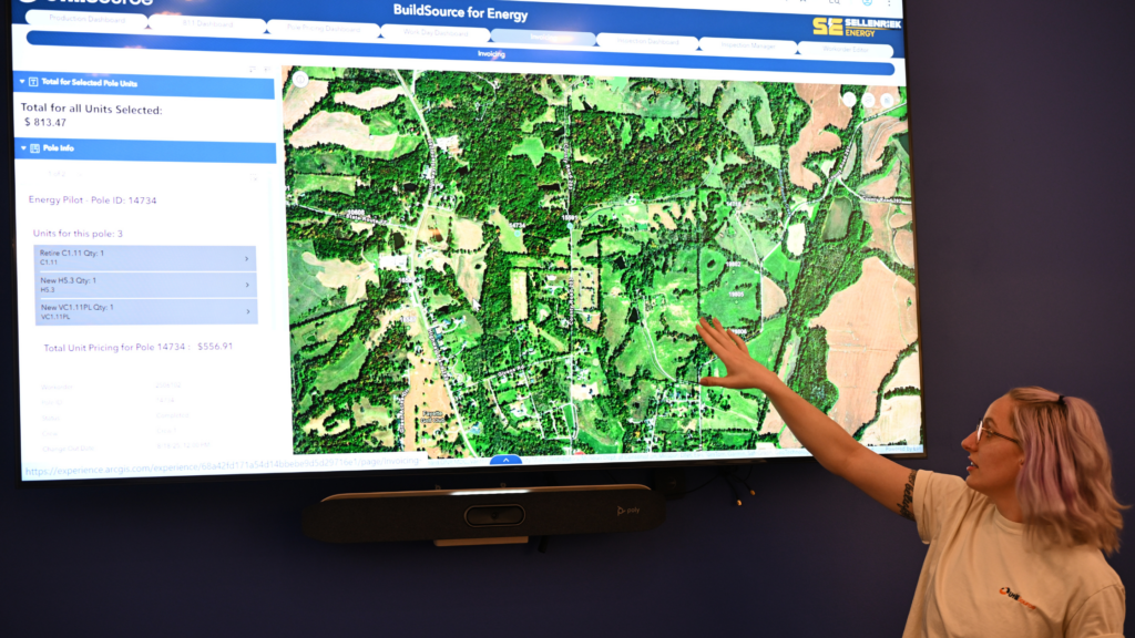
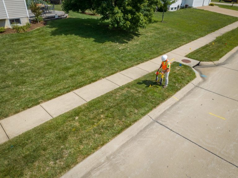
Here at UtiliSource, we have harnessed the power of GIS technology to maximize the efficiency of utility management operations. When workers are equipped with our mobile GIS systems, real time updates can be sent to your project dashboard and managers can visualize projects as they go along. It can also be used to parcel out tasks or “zones” where individual workers need to perform, and these can be visualized to guide them through their task.
Our GIS systems also have the ability to track and analyze spatial data (geoprocessing and geocoding), right when or where you need it. This can dramatically improve decision making, and help to strategize project plans among managers and stakeholders.
Get started with our innovative GIS solutions, and call or check out UtiliSource’s website today.