In recent years, Geographic Information Systems (GIS) have revolutionized the way utilities and civil engineering projects are managed and maintained. From improving the efficiency of maintenance services to streamlining development projects, GIS has become an invaluable tool.
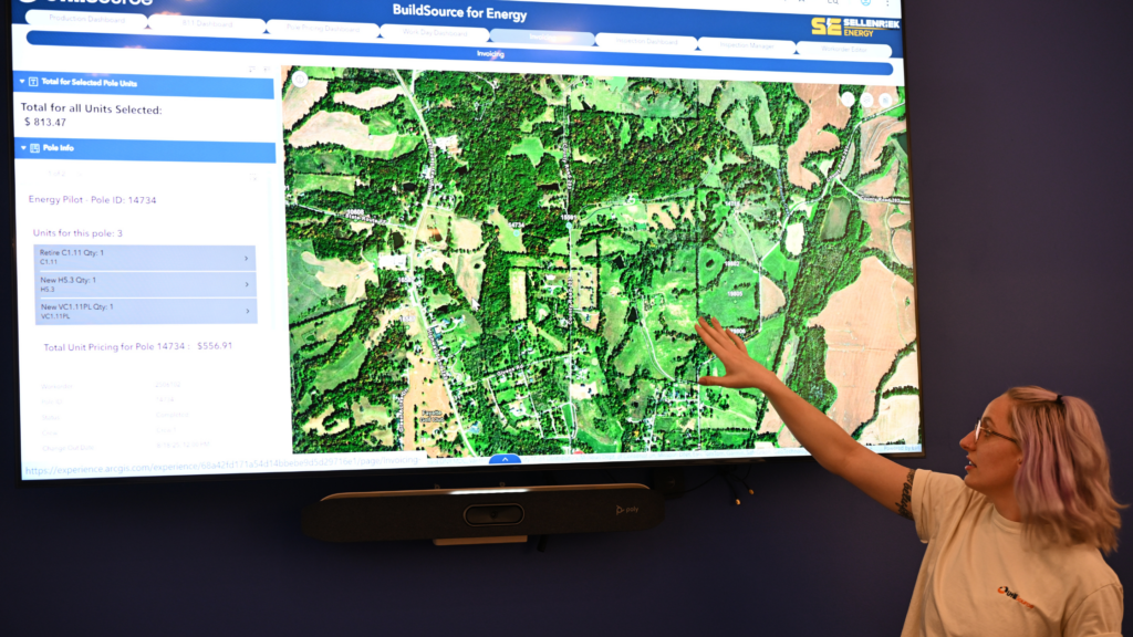
GIS technology allows companies to collect, store, analyze and visualize spatial data. This data can be used to map utility networks including electric lines and water systems, as well as track the progress of field projects.
How GIS is Positively Impacting Utilities Services
Innovative Utility Mapping
GIS software and technologies have changed the utility mapping game. GIS is superior to older methods in that it can combine data from multiple sources to create a detailed map of an area. This data includes aerial imagery, topographical information, and other spatial data.
The accuracy of GIS maps is one of its biggest advantages over traditional mapping methods. GIS takes into account spatial relationships between objects, such as the distance between two points. This allows for more precise mapping of underground infrastructure. It also has the ability to update data in real time during the mapping project which allows for rapid changes and adjustments.
Enhanced Utility Management
The maps produced by GIS data can be used to plan and analyze the existing infrastructure as well as plan for future construction and expansion. GIS can be used to track the location, size, age, and condition of utility infrastructure such as pipes, cables, and wires. This is valuable information to have on hand when maintenance needs to be performed or when construction is taking place.
An important aspect to consider is how GIS utility maps benefit civil engineering projects, such as road construction. GIS-based utility maps provide a comprehensive overview of the existing utility infrastructure in a given area. This information helps engineers to plan projects and understand how their proposed infrastructure will interact with existing systems. With this data, civil engineers can make informed decisions about project requirements, design parameters and potential impacts on the environment.
Advanced Project Management
GIS for utilities services can be used to track and visualize project progress and integrate all of the project’s data into one system. GIS makes it easier to compare and analyze information such as material usage, manpower in the field, and the expected duration of the project. This helps project managers make more informed decisions.
Geospatial analysis is a key component of GIS, and it involves the use of geographic data and associated attributes to perform spatial analysis to reveal geographic relationships and patterns. This type of analysis can help utility project managers better understand and manage their projects by providing a more comprehensive view of project progress and potential risks.
For example, geospatial analysis can be used to map out the progress of a project over time, display potential areas of concern, and identify areas of risk. GIS can also track and analyze operational data and identify areas where improvements can be made, and provide the necessary data to make informed decisions about the implementation of those improvements.
UtiliSource: Get Started With Innovative GIS Services
If you are looking for a reliable and comprehensive GIS mapping and project management solution, look no further than UtiliSource! UtiliSource provides accurate and up-to-date mapping services, as well as project management tools for tracking progress and efficiently managing projects. Contact us today to learn more about UtiliSource’s GIS mapping and project management services.