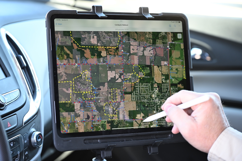
The world of land surveying requires efficiency, precision and accuracy. Land surveyors are tasked with the responsibility of collecting and detailing land survey data and measurements. This data is utilized by engineers, builders and city planners to formulate accurate designs and plans. In order to do so, they must use reliable land survey software.
Land survey software can be used to collect and analyze data, create topographic surveys and generate CAD drawings. It can also be used to manage various types of data files, including GIS data and total station data. The right software can make surveying jobs easier and more efficient.
When choosing a software, it’s important to consider the type of surveying you’ll be doing and the features you’re looking for. Different types of land survey software have different features and user interfaces. Some of the more popular land survey software types include Trimble, Autocad and Esri.

Trimble
Trimble is a well-known data collection software choice for surveyors. It offers a wide range of features, including data collection, CAD drawing tools and GIS data integration. It also supports popular data file types, making it easier to share data between different users.
Autocad
Autocad is another popular choice because it has a user-friendly interface and range of software features. Autocad can be used to create topographic surveys, generate floor plans and manage data files. It also supports windows mobile devices, allowing users to collect data in real time.
Esri
Esri is a popular GIS data integration software for land survey jobs. It can be used to collect, analyze and visualize data. Esri also supports mobile devices, allowing users to collect data from the field and store it in a secure location.
No matter what type of land surveying job you’re doing, there is software that can make it easier and more efficient. It’s important to research different types of land survey software available and choose the one that best meets your needs. Different software packages offer different features, user interfaces and file types, so be sure to consider all of these factors before making a decision. With the right land survey features software, you’ll be able to complete your land surveying jobs quickly and accurately.
Get Started with GIS Survey Software
GIS survey software maximizes your survey operations whether you are performing land surveys or utility surveys. Different software providers, however, have different benefits and you need to choose the best for your project.
That’s why you should choose UtiliSource. No matter the project, we have the best GIS solution for you. Our softwares are configurable to your needs, and guarantees streamlined field operations and innovative spatial analysis solutions. Get started with advanced GIS survey softwares today, and check out our website or give us a call!

