When you are completing a construction project, you face a number of challenges and a long to-do list before you can get started. Existing utilities and their location are a huge section of these challenges.
What is Subsurface Utility Locating?
Before we dive in, we need to define what subsurface utility locating or SUE is. SUE is a specialty area of engineering that deals with and manages the risks associated with utility mapping. SUE is used to manage any and all risks associated with utilities, including design, coordination, mapping, and even relocation.
The whole goal of SUE is to gather accurate information about underground utilities and other data during the design stage of projects. Subsurface utility engineering starts first by outlining project scope, the timeline/schedule, and then the service against the risk associated with the project.
SUE services combine activities that map the location of utilities, like ground penetrating radar (GPR) with survey, CADD, and design to identify and map existing utilities.
It is important to note that SUE is completely non-invasive. It’s entire goal is to ensure the safety and success of a project and to protect the integrity of a utility network during construction. Protecting utilities is in everyone’s best interest, from utility owners, to contractors, to the people using the services. By protecting utilities and determining their precise horizontal and vertical location in the ground, we decrease the amount of utility strikes that do occur.
Applications of SUE
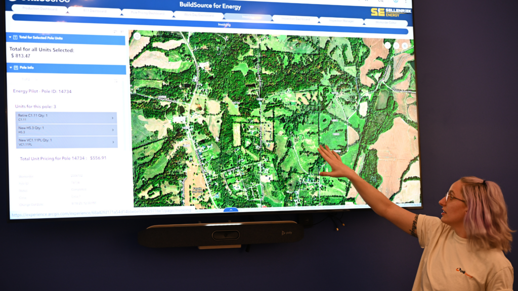
There are many applications of SUE. It is most commonly used for asset management or during the design stage of a project. It is part of keeping records and research and correlating the information about utilities into their applications within a project. It can be used to find missing or inaccurate information and can determine the existence, or lack thereof, of utilities beneath our feet.
During the design stage, SUE is used to gather information about utilities. This information is then used to avoid strikes or other issues that may arise during later phases of the project.
SUE Standards and Quality Levels
Current SUE quality levels have been set by the American Society of Civil Engineers (ASCE). The guidelines, Standard 38-22, replaced ASCE Standard 38-02, or Standard Guidelines for the Collection and Depiction of Existing Subsurface Utility Data. The new guidelines are called the Standard Guideline for Investigating and Documenting Existing Utilities.
There are a few different levels of investigation using SUE. They are as follows:
Level A (QL-A Data)
Level A is the most in-depth level of investigation using SUE and requires digging to locate the precise locations of utilities. In most settings, SUE is completely non-destructive, however, when Level A investigation is needed, digging is required.
This type of data is the most accurate. It uses SUE services to expose the utilities and obtain accurate information about the characteristics of the utilities. Information it may uncover includes composition, condition, size, and type.
Level B (QL-B Data)
Level B, similarly to Level A, is used to locate subsurface utilities. However, unlike Level A, Level B investigations are completely non-invasive.
Level B data is created using surface geophysical methods to locate utilities. It is most often used in the planning and preliminary stages during engineering projects. It accurately maps the utilities and can be used to ensure current records are accurate and not missing any data.
Level C (QL-C Data)
A Level C investigation using on-site surveys to plot out plausible locations of utilities. It is then combined with additional tools and technology to pinpoint the location of a utility line.
Level C data is the most common quality level used in SUE applications. The process is used to identify utilities that are missing or plotted wrong from Level D records.
Level D (QL-D Data)
Level D is the last level of SUE investigation and is the most superficial level. You may also hear this type of investigation be referred to as “desktop study.” Level D is a good start, but will not show the full picture.
It relies on existing utility maps, surveys, and plans. These plans are then combined together to make one map. However, the data on these maps may be incomplete or inconsistent. Level D data is the most basic level of data used. As stated earlier, this data already exists in the form of records or personal accounts. Most often, it is used in the early stages of project planning.
Benefits of SUE
There are many benefits and advantages to using SUE. As much as you may want to hit the ground running, taking a step back to wait is important. Utilizing SUE and utility locating services is extremely beneficial.
Accuracy
Subsurface utility engineering is very accurate. Working with a team of experienced SUE professionals is much more accurate than just relying on records that may be inaccurate, outdated, or incomplete. Using SUE allows you to see the full picture and know exactly where utilities are located beneath your feet.
Safety
Using SUE services has a huge safety benefit to personnel on site. When you know where utilities are located ahead of time, you can avoid accidental strikes. Any utility strike can be dangerous and presents a significant hazard to those working on-site.
Cost
When you work with an SUE contractor, you can save a lot of money. If you accidentally strike a utility during your project, you may have to stop the excavation process. In addition, you may be found responsible for the strike and have to pay for it to be repaired.
Efficiency
Although it may seem like SUE services delay the start of the project, they actually make it easier for you to start your project on time. They work to reduce barriers and anticipate obstacles before they occur. You need to know what’s going on underground before you can start.