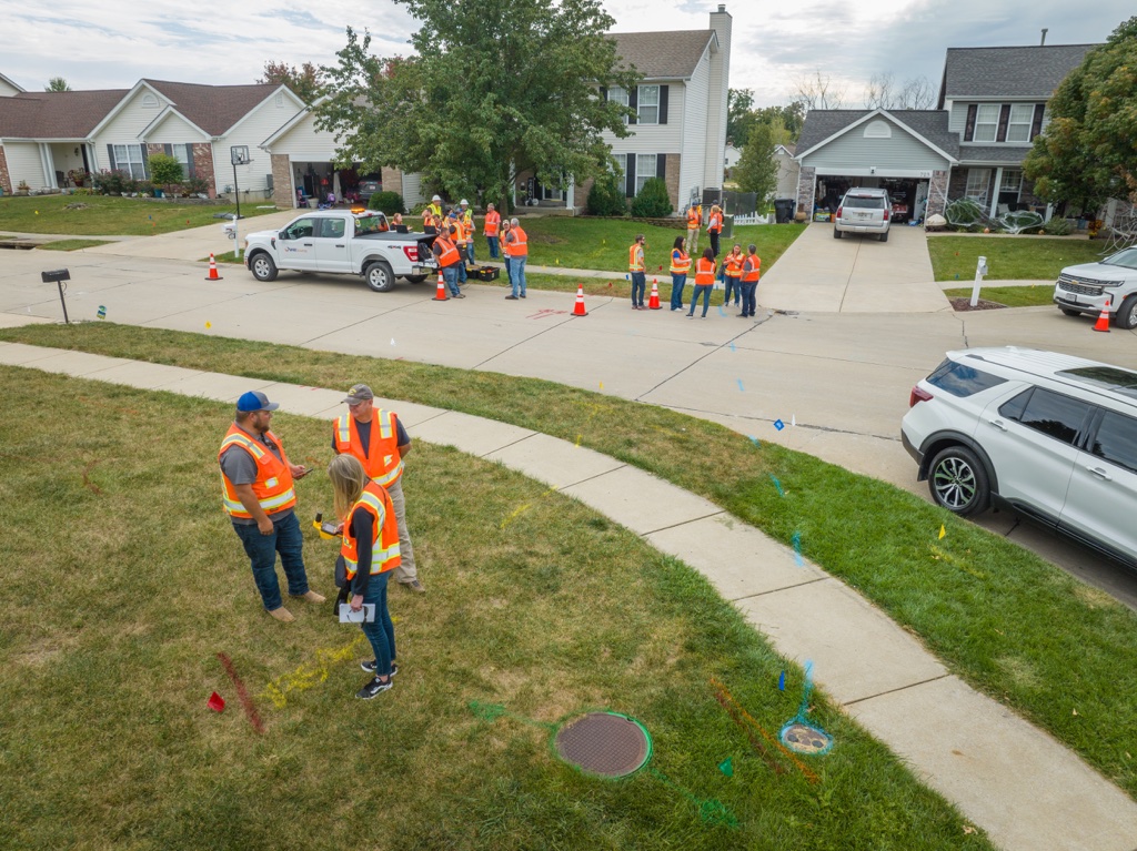
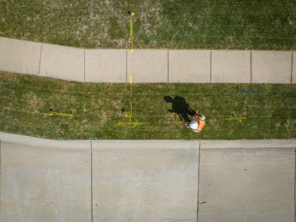
Utility maps are created to illustrate the exact location of subsurface utilities, and paired with utility records, can even provide information as to utility and physical material type. For any project that requires excavation, whether it be a civil engineering project, routine maintenance for utilities, or the installation of new utility lines, utility mapping is essential.
Successfully carrying out utility surveys and utility mapping reduces the risk of damaging underground utility lines, saves time and construction delays, prevents unnecessary ground disturbance, and can prevent injuries that may result from situations such as workers hitting dangerous electrical lines.
Methods for Mapping Utilities
In order to map utilities, there are technologies used to detect underground infrastructure that can track utility lines, and often, they can even indicate the material type and utility design. These technologies are quite accurate, providing the information needed before any construction or excavation takes place. Identifying existing underground utilities without breaking ground saves time and money, and also reduces the environmental impact such operations may have on the surrounding area.
Ground Penetrating Radar (GPR)
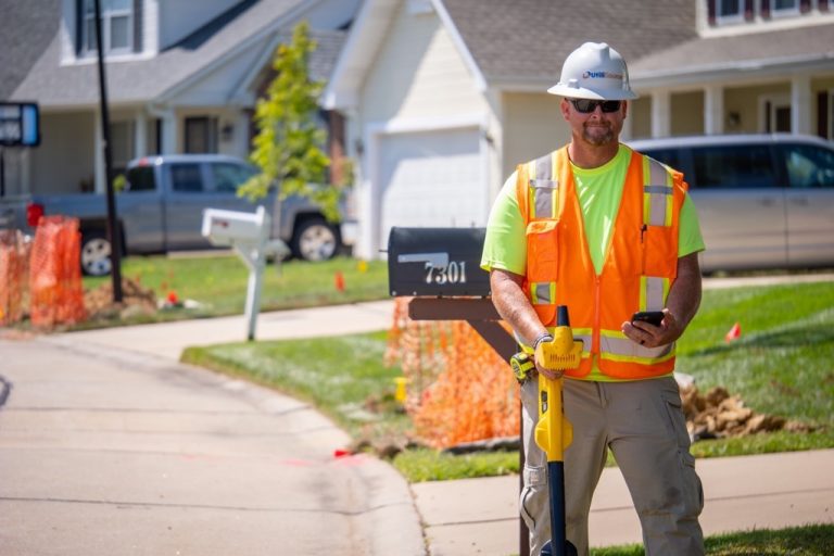
GPR is a method that uses electromagnetic waves to detect underground utilities. Often, these look like a small cart that surveyors push over the ground. An antenna sends the electromagnetic waves into the ground, and when the waves reach an object, they bounce back up to the antenna, and then the structures are displayed on a screen for surveyors to view.
This method can detect just about any underground structure, from underground pipe systems to fiber optic cables. Additionally, it can work to detect utilities under soil, pavement, and concrete.
Electromagnetic Induction (EMI)
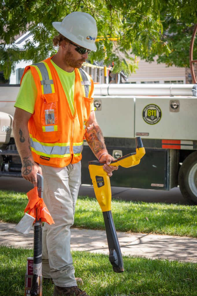
This method sends electrical currents through utilities made of conductive materials in order to create a magnetic field that can be detected by receivers used by surveyors above ground. This method has consistently proven to be quite accurate at tracing utility line location and depth, however, it does have limitations. EMI is unable to detect non-conductive materials, and the magnetic field can be influenced by metal objects and groundwater. Even so, this method is widely used for the mapping of conductive utilities like electrical lines and buried underground storage tanks.
Utility Mapping with GIS Software
Utility mapping software has changed the game for performing utility surveys and producing utility maps. Whether it is time for some form of construction to begin or maintenance to be performed, GIS software can enhance the utility of your mapping data significantly.
Benefits of GIS Software for Utility Mapping
Pairing with Geographic Data
GIS systems have the ability to access highly accurate geographic data, meaning there are no guessing games when it comes to locating underground utility lines. This accuracy is valuable for saving time, and limiting construction delays that occur when an incident arises.
Additionally, GIS systems can obtain information such as land elevation, and this can be incorporated into your map display. This can help take into account factors such as potential flooding, which can be critical for when decisions need to be made about the installation of utilities.
Real-time Tracking
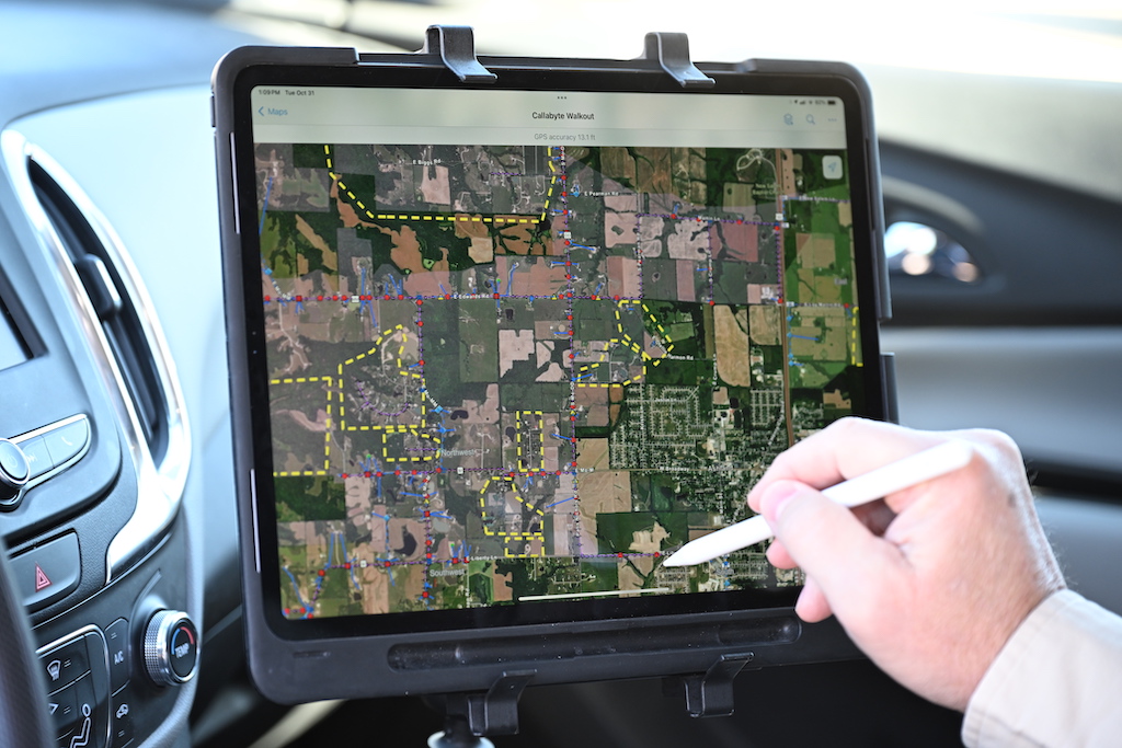
By using GIS software throughout the utility tracking process, data can be uploaded and analyzed in real time. This means that things such as potential utility conflicts can be identified rapidly, and informed decisions can be made by operational managers quickly.
This also facilitates more streamlined communication between surveyors and operation managers. The progress made in the field can be tracked as it occurs, and GIS maps can be displayed on mobile or smart devices anywhere that they have a connection.
Enhanced Asset Management
By having your utility data strategically arranged and linked to a GIS map system, information can be easily accessed and managed by both workers in the field and management in the office. Organizing data based on location, utility type, and even utility line composition can open up greater ease of utility management and future planning for construction or maintenance projects.

