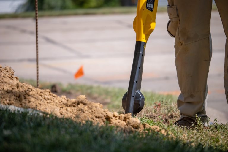
Utility surveying is an important process for identifying and mapping underground utilities. It involves the use of specialized locating techniques and equipment to detect and map out utilities in an area.
There are many elements of utility location surveys that are important to understand. This includes the types of underground utility locators, utility marking color codes, and utility mapping software. Understanding these core underground utility surveying elements will help guide you through the process performing a survey, and help determine if you need to employ underground utility surveying services.

Utility Detection: Utility Line Locator Equipment
Ground Penetrating Radar (GPR)
Ground Penetrating Radar is a powerful tool for detecting subsurface utilities, and uses high-frequency radio waves to detect the underground utilities. GPR antennas transmit radio waves into the ground to identify the location, type, and path of the utilities. The advantage of GPR is that it can detect both the location and depth of a wide variety of underground utility lines such as gas, water, and electricity lines.
Electromagnetic (EM) Locators
An electromagnetic locator is another utility line locator tool that uses the principle of electromagnetic fields to detect metallic lines underground. They operate by generating an electromagnetic field around a transmitter antenna. These EM locator fields interact with the underground utilities and the responses are picked up by the receiver antenna. This makes it easy to detect the presence of metallic utilities at the job site, including electric lines. It is not, however, effective in detecting non-metallic utilities such as water and sewer lines.
Utility Markings, Symbols, and Color Codes
Utility surveyors use flags and their associated color codes to mark where utilities are present. The colors of the flags are used to indicate the type of utility, such as power, gas, water, etc. The exact colors vary depending on the local or state regulations, but there are common color codes used for different utilities.
Typically, red flags indicate electric lines, blue flags indicate water lines, orange flags indicate fiber optic or other telecommunication cables, and yellow flags indicate gas or petroleum lines. Some jurisdictions also include pink flags to indicate that there is an unconfirmed utility line in the location, and purple flags to indicate hazardous waste.
Utility Mapping
Historically, utility mapping has relied on traditional methods such as paper maps, manual measurements, and on-site visits done by specialist personnel. These methods typically have low accuracy and require lots of time and energy.
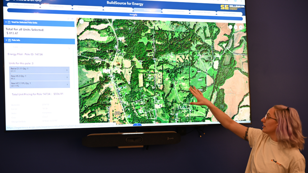
Recent advances in the development of Geographic Information Systems (GIS) have provided new methods for accurate utility mapping. GIS systems produce detailed maps of utility networks by overlaying data from surveys, aerial imagery and sensors. This includes complex networks of water, gas, and electric cables. It can also be used to create 3D models of terrain and other objects for highly accurate projections of utility infrastructure.
Hiring a Utility Locating Company – UtiliSource
There are many important elements of a utility survey, including using the right equipment, following the right flagging and color systems, and making accurate utility maps. Professional utility locating services can save you time, money, and ensure your workers’ safety on any job site once construction or excavation begins.
If you need to know the precise location of underground utilities, contact UtiliSource for our reliable and industry-leading underground utility locating services. We work as both a public and private utility locating service and use the most advanced technologies to create accurate GIS utility maps. Call UtiliSource today to learn more and get your project on the right track.