Before construction begins or utilities are installed, knowing exactly where a property begins and ends is crucial. That’s where land surveys come in. A land survey that marks property boundaries helps avoid legal disputes, supports safe utility installation, and ensures compliance with zoning rules.
Whether you’re a homeowner planning to build a fence, a city planning road expansions, or a utility contractor preparing to install underground lines, property boundary surveys are the first step toward a successful project.
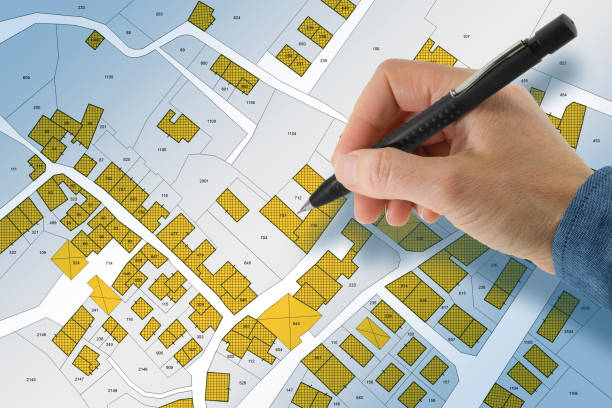
What Is a Land Survey?
A land survey is a process where licensed professionals use tools and data to determine the exact boundaries of a property. The result of the survey is a detailed map showing property lines, features like buildings or fences, and often underground utility placements.
Land surveys are often required for:
- Real estate transactions
- Construction and development
- Utility installations
- Boundary disputes
- Subdividing land
Surveyors collect information using GPS, aerial imagery, and physical markers, and then record this data to produce an official record of where property begins and ends.
Why Property Boundaries Matter
Property boundaries are not just lines on a map—they determine legal rights and responsibilities. Installing a utility line, driveway, or structure even a few inches over the boundary can lead to costly disputes, legal action, or forced removal of the structure.
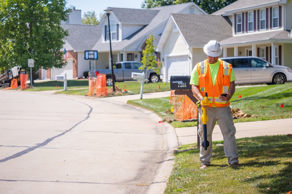
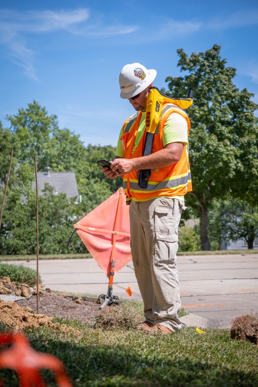
For utility companies and contractors, accurate boundary information is essential when working with underground infrastructure. Installing fiber optic cables, gas lines, or electrical systems without a clear understanding of boundaries can lead to property damage, service interruptions, or violations of local law.
Types of Property Surveys
There are different types of land surveys depending on the purpose. Here are some of the most common:
Boundary Survey
Defines the exact corners and lines of a property. Often used for construction or fencing.
Topographic Survey
Includes elevation changes and land features. Useful for grading, drainage, and design work.
ALTA/NSPS Survey
A highly detailed survey required for commercial property transactions. Includes boundaries, easements, encroachments, and utility data.
Construction Survey
Used to guide construction teams. It marks where structures, roads, or utilities will be placed in relation to the property lines.
How Property Boundary Surveys Support Utilities
Utilities like water, gas, and power lines often run along or through private properties. In many cases, easements give utility companies the legal right to access a portion of someone’s land. Land surveys help identify these easements and ensure that utility work stays within permitted zones.
Without this information, workers risk placing lines in the wrong location, causing legal trouble or delays later on. Land surveys also prevent utility lines from being placed too close to buildings, trees, or other underground facilities.
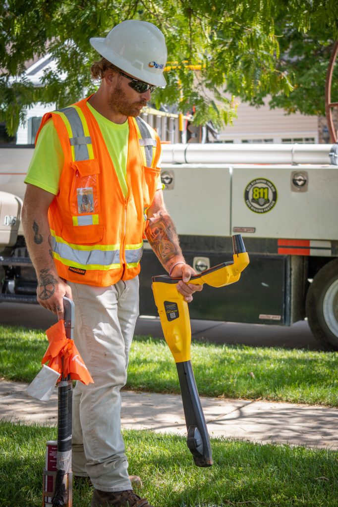
Tools Used in Land Surveying
Modern surveying tools make it easier and more accurate to measure land boundaries. Some of the most common tools include:
- GPS systems: Used to find precise coordinates of property lines
- Total stations: Devices that measure distance and angles
- Drones: Capture aerial images and elevation data
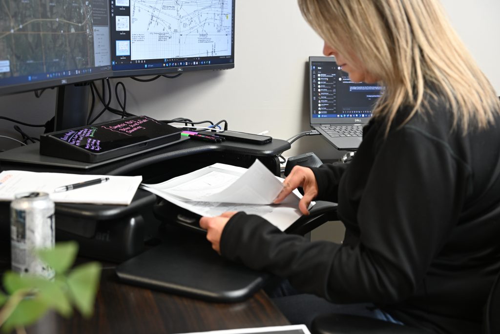
- Geographic Information Systems (GIS): Combine data from multiple sources to create interactive maps
- Utility locating equipment: Helps identify existing lines to avoid conflicts
These tools, especially GIS and digital mapping platforms, are used to build a full picture of the land and everything beneath it.
What Property Owners Should Know
If you’re buying land, starting construction, or installing a utility system, you may need to hire a licensed land surveyor. The cost of a land survey varies based on the size and complexity of the property, but it’s always cheaper than fixing a mistake after the fact.
Make sure the surveyor is familiar with local regulations and can provide a stamped report. This report will help with zoning permits, building approvals, and utility access planning.
How UtiliSource Supports Accurate Utility Mapping
UtiliSource plays a key role in helping cities, contractors, and property owners understand what lies beneath the surface of a property. Using a combination of GIS data, field-collected mapping, and utility locating tools, UtiliSource ensures underground infrastructure is documented accurately and aligned with property boundaries.
Whether you’re building a new development, expanding a utility network, or maintaining existing infrastructure, knowing where property lines and easements are located is critical. UtiliSource works alongside surveyors and project managers to support precise planning and execution.
Conclusion
Land survey property boundaries provide a foundation for safe, legal, and efficient development. From defining private land ownership to guiding utility installations, boundary surveys protect property rights and reduce the risk of errors.
With the help of accurate tools and expert data from partners like UtiliSource, developers and contractors can move forward with confidence—knowing that every inch of land is clearly mapped and accounted for. When it comes to building smarter infrastructure, it all starts with knowing where the lines are.