
Underground Utilities Construction: Building What You Can’t See
The systems that keep cities running are mostly invisible. Power lines, water mains, gas pipelines, fiber cables, and storm drains often lie buried beneath our
The systems that keep cities running are mostly invisible. Power lines, water mains, gas pipelines, fiber cables, and storm drains often lie buried beneath our

What Is Utility Asset Management? Utility asset management is the process of tracking, maintaining, and optimizing physical infrastructure like pipes, cables, poles, and valves. These
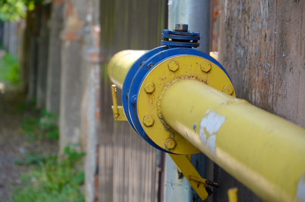
Why Gas Pipe Infrastructure Requires Specialized Oversight Natural gas pipes run quietly beneath our feet, powering everything from home heating systems to industrial manufacturing. These
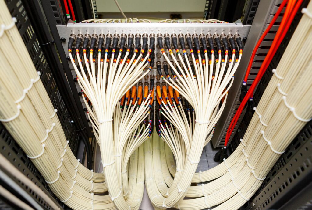
What Is a Fiber Ethernet Cable? A fiber ethernet cable is a type of high-speed data cable that uses light instead of electricity to transmit

Understanding the Composition of Fiber Optic Cables Fiber optic cables are made of several layered materials designed to carry light signals with minimal interference. The

What Are Utility Tickets? A utility ticket is a formal request to identify and mark underground utilities before digging begins. Whether you’re repairing a road,

Geographic Information Systems (GIS) have changed how cities, utility companies, and construction teams plan and manage infrastructure. But behind every interactive map and layer of
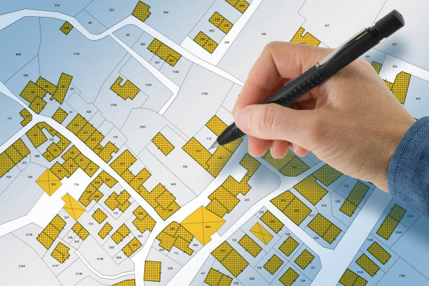
Before construction begins or utilities are installed, knowing exactly where a property begins and ends is crucial. That’s where land surveys come in. A land
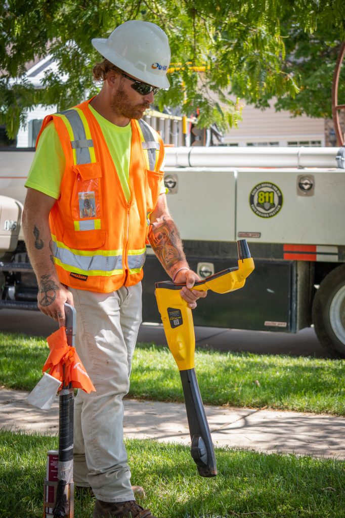
Every year, cities and municipalities across the U.S. process tens of thousands of 811 “call before you dig” requests. While these requests are essential for

The demand for fast and reliable internet has skyrocketed, and at the heart of this digital growth is fiber optic technology. From rural broadband expansion