Geographic Information Systems (GIS) mapping is turnkey technology for utility companies. From planning to maintenance, GIS is a powerful tool to gain insight and manage underground networks with precision and efficiency.
1. Smarter Site Planning & Design
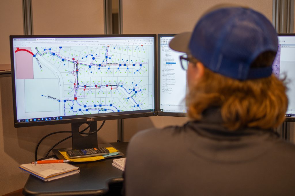
With GIS mapping, you get a comprehensive view of your underground utilities before breaking ground. By overlaying layers like topography, soil type, existing lines, and environmental constraints, you can:
- Assess site suitability and avoid obstacles
- Plan utility routes to avoid conflicts and minimize relocations
- Design infrastructure layouts that optimize space and reduce costs
By starting with accurate spatial data, your project managers make smarter, faster decisions with fewer surprises.
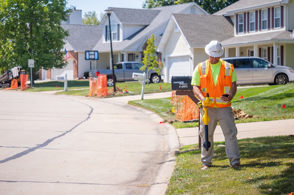
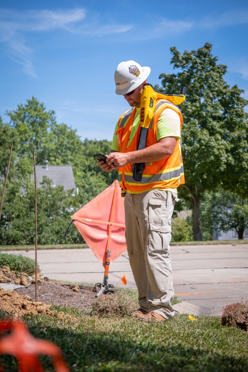
2. Enhanced Coordination with Stakeholders
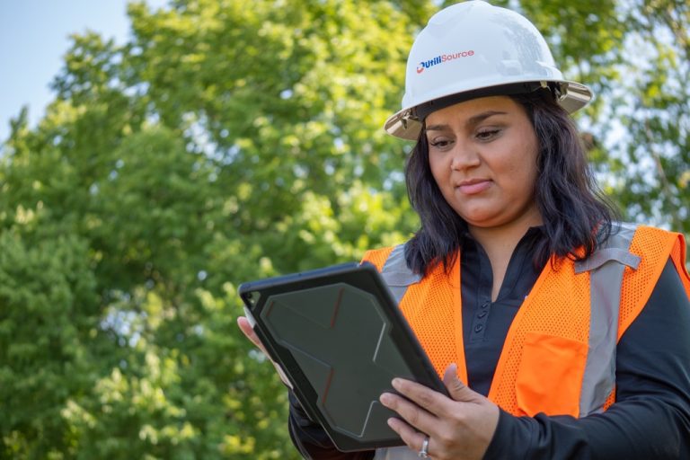
GIS isn’t just for engineers—it helps everyone involved. With real-time, interactive maps:
- Field crews know exactly where to work
- Coordination with contractors and permitting is streamlined
- You can track progress against project milestones
- Updates flow instantly from field to office
This reduces misunderstandings, improves efficiency, and supports better project execution.
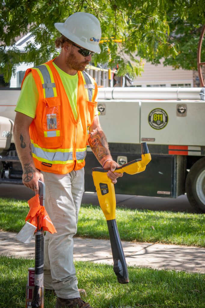
3. Safe and Efficient Utility Mapping
Knowing exactly where your subsurface infrastructure lies lowers the risk during excavation. With GIS:
- You can map underground utilities clearly and avoid strikes
- Integrate with locating services to mark gas, electrical, water, and telecom lines
- Ensure safer digging and trenchless installations
Fewer utility strikes mean fewer delays, accidents, and unexpected costs.
4. Optimized Resource Allocation & Asset Management
GIS helps track your assets throughout their lifecycle:
- Monitor utility infrastructure condition
- Schedule preventative maintenance before failures occur
- Use historical spatial data to improve replacement and upgrade planning
By managing data and assets within GIS, you avoid downtime and lengthen asset life.
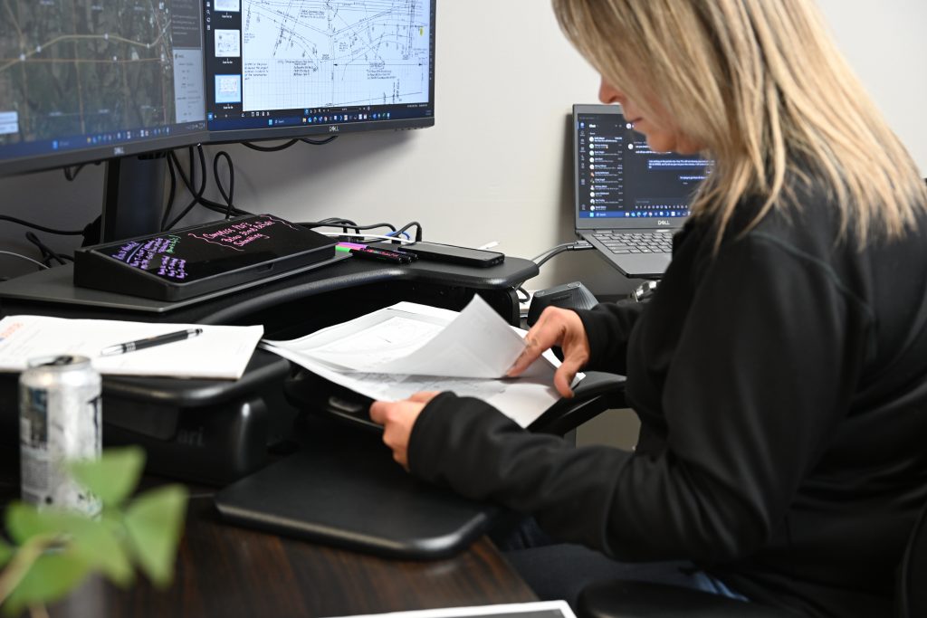
5. Data-Driven Decisions with Spatial Analysis
GIS transforms raw data into clear insights:
- Analyze risk—like landslides or water intrusion—before they strike
- Run environmental impact assessments using layers like wetlands or flood zones
- Select optimal routes for new distribution lines based on cost, risk, and access
This strategic approach optimizes both project outcomes and community value.
6. Real-Time Incident Response
GIS shines during emergencies. In the event of floods, pipe failures, or storms, it enables you to:
- Quickly pinpoint affected infrastructure
- Dispatch repair crews with real-time location data
- Coordinate logistics and response with emergency teams
This speeds recovery, safeguards crews, and restores services faster.
7. Cost Savings & ROI
Though GIS requires upfront investment, the long-term payoff is clear:
- Fewer utility strikes, rework, and project delays
- Better planning and faster permitting processes
- Lower maintenance and repair costs over time
- Fewer disruption-related claims from residents or contractors
GIS mapping pays for itself through efficiency gains and reduced risk.
8. Stronger Compliance & Reporting
Utility projects must follow strict regulations. GIS helps by:
- Documenting precise conduit, line, and valve locations
- Supplying data for permits and environmental reports
- Showing proof of proper utility mapping and validation
GIS simplifies compliance and supports defensible data records.
9. Enhanced Collaboration & Transparency
GIS maps are easy to share:
- Office, field, and stakeholder teams can view live project data
- Public-facing maps help municipalities share infrastructure plans
- Real-time dashboards improve communication with external partners
This transparency builds trust and reduces friction with regulators or public audiences.
Conclusion
For utility mapping and construction, GIS is critical. It empowers project managers, crews, and communities with better planning, safer execution, data-driven decisions, and cost-effective outcomes. Whether you’re installing new lines or maintaining existing infrastructure, GIS mapping projects should be part of your strategy.
As UtiliSource’s GIS service offerings prove, embracing GIS isn’t just a technological upgrade—it’s a smarter, safer, and more reliable way to manage underground utilities.