Geographic Information Systems (GIS) have changed how cities, utility companies, and construction teams plan and manage infrastructure. But behind every interactive map and layer of underground utility data is a skilled expert: the GIS specialist.
A geographic information systems specialist is a trained professional who collects, analyzes, and manages location-based data. Their work helps organizations visualize physical spaces, track underground utilities, prevent damage, and make informed decisions in real time.
What Is Geographic Information Systems (GIS)?
GIS is a system that gathers and analyzes data tied to geographic locations. It combines layers of information—such as roads, utility lines, elevation, and land ownership—into a single digital map. This allows professionals to understand patterns, spot risks, and plan better.
GIS is used in many industries, including:
- Utilities and infrastructure
- Urban planning
- Environmental science
- Emergency response
- Telecommunications
- Transportation
But to keep all this data accurate and usable, specialists are needed to build and maintain these systems.
The Role of a GIS Specialist
A geographic information systems specialist is responsible for managing GIS technology and the data that powers it. Their role includes:
1. Data Collection
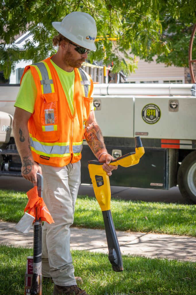
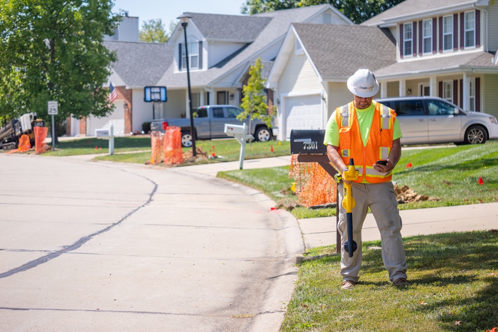
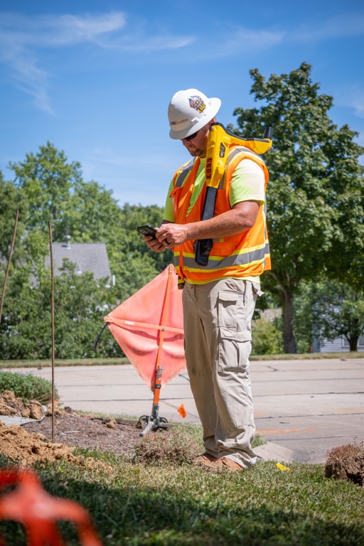
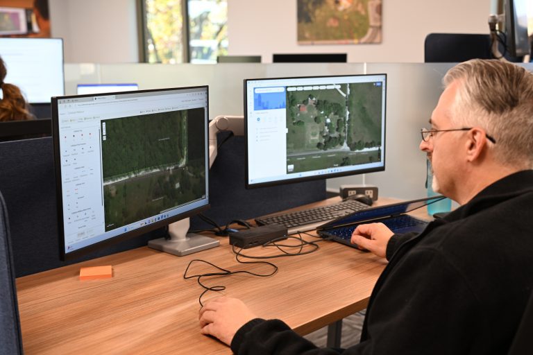
GIS specialists collect geographic data through surveys, satellite imagery, drones, and ground-based tools. For utility projects, this might include mapping water lines, power cables, sewer systems, and gas lines.
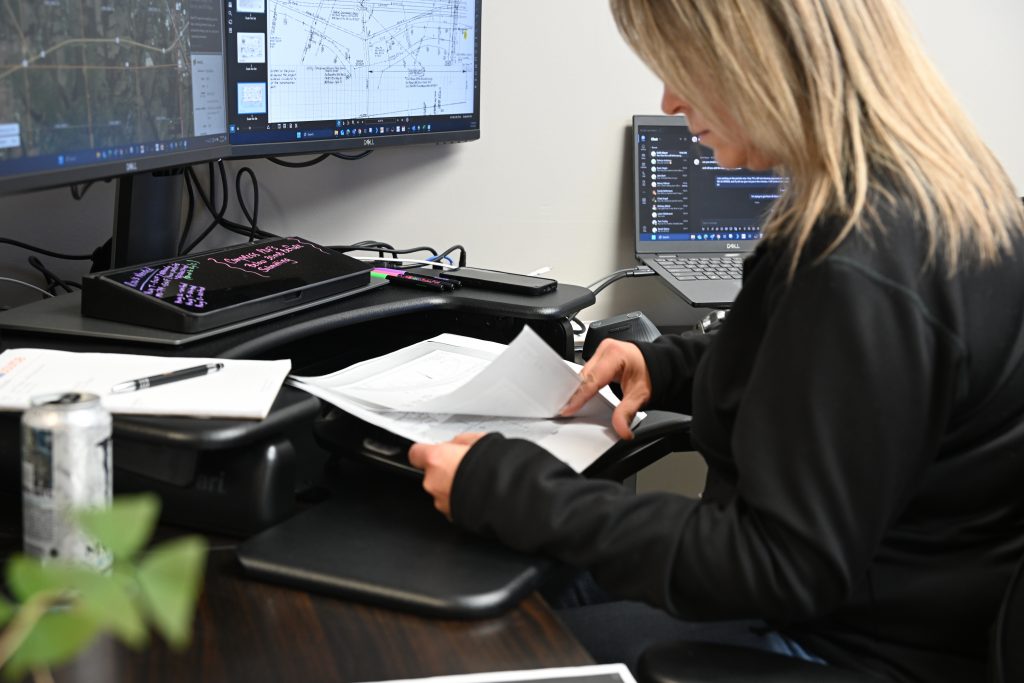
2. Data Analysis
Once collected, the data is cleaned and analyzed. Specialists use it to identify risks, gaps, or overlaps in utility coverage. For example, they might spot where a planned sewer line crosses an existing gas main.
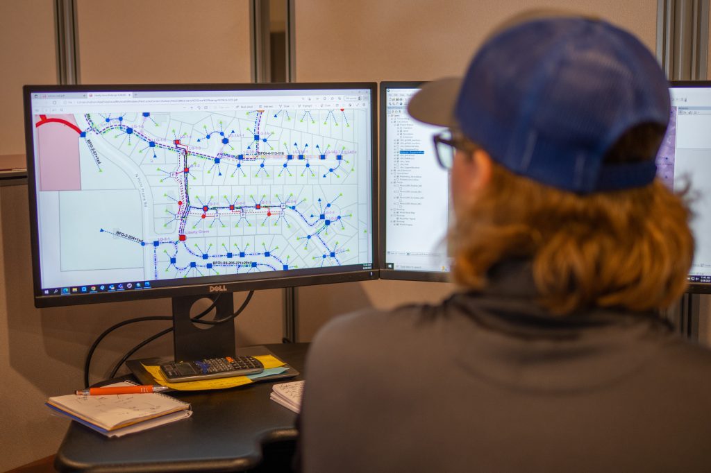
3. Map Creation
Using specialized software, GIS specialists build interactive digital maps. These maps can show everything from terrain changes to the exact location of buried fiber optic cables. These tools help engineers, city officials, and utility companies plan and maintain projects with precision.
4. Data Maintenance
As cities change, GIS data must be updated. GIS specialists track changes to infrastructure and land use so maps and plans stay current and accurate.
5. Supporting Decision-Makers
Whether it’s helping a contractor avoid a water main during excavation or assisting emergency crews during a storm, GIS specialists provide the information that decision-makers need—fast.
Tools Used by GIS Specialists
GIS specialists rely on a mix of hardware and software to do their jobs, including:
- GIS software (like ArcGIS, QGIS): Used to layer and visualize geographic data.
- GPS devices: Used to collect real-world location data with high accuracy.
- Drones and aerial imagery: Provide large-scale views of land and construction zones.
- Remote sensing: Uses satellites to gather information about surface features.
- Databases: Store utility maps, infrastructure records, and past project data.
The strength of GIS depends not just on the technology—but on the specialist’s ability to interpret and apply it.
Why GIS Specialists Matter for Utility Work
In the utility industry, accuracy and safety are critical. A wrong move during digging can lead to service outages, costly repairs, or even injury. GIS specialists help prevent these problems by providing up-to-date, detailed maps of underground infrastructure.
Utility companies depend on GIS data to:
- Avoid striking existing lines during excavation
- Plan new service installations around existing utilities
- Identify easements and rights-of-way
- Monitor service areas and growth patterns
- Prepare for long-term maintenance needs
In each of these cases, the input and analysis of a GIS specialist guide smarter, safer decisions.
How UtiliSource Collaborates with GIS Specialists
UtiliSource integrates GIS data into every phase of utility planning and mapping. Whether it’s helping a municipality prepare for future fiber installations or updating utility maps after new developments, UtiliSource works hand-in-hand with GIS specialists to deliver clean, actionable information.
Using advanced field mapping technology, real-time data tools, and precise location services, UtiliSource supports GIS professionals with the data they need to keep maps accurate and usable. This collaboration helps reduce damage prevention tickets, improve infrastructure lifespan, and streamline coordination between contractors, engineers, and city planners.
Conclusion
A geographic information systems specialist plays a vital role in managing the complex web of data that supports modern cities and utilities. From collecting underground utility data to creating detailed digital maps, their work ensures that teams in the field and decision-makers in the office have the reliable information they need.
As cities grow and infrastructure becomes more interconnected, the demand for accurate GIS work will only increase. With support from partners like UtiliSource, GIS specialists are empowered to bring clarity and efficiency to every corner of the map.