Every year, cities and municipalities across the U.S. process tens of thousands of 811 “call before you dig” requests. While these requests are essential for preventing excavation damage, the volume can quickly overwhelm local utility locators—especially in areas with aging infrastructure, incomplete utility records, or overlapping service zones.
UtiliSource offers a smart solution. By supporting field locators and improving underground utility mapping, UtiliSource helps cities reduce the number of locating tickets they receive—without sacrificing accuracy or safety. The result is fewer repeat tickets, faster response times, better damage prevention, and a long-term reduction in operational strain.
The Burden of Locating Tickets on Municipalities
When contractors, property owners, or city departments submit a dig request to 811, local utility operators are responsible for marking the location of buried lines before work begins. These requests, also known as “locating tickets,” can spike during construction seasons, weather events, or major infrastructure upgrades.
For many municipalities, the ticket load can become unsustainable due to:
- Duplicate or repeat tickets for the same area
- Poor recordkeeping of past markings or as-built utility data
- Insufficient staffing or outdated locator tools
- Time spent re-verifying sites that haven’t changed
Each ticket requires time, labor, and precision. The more tickets a city receives, the greater the risk of late responses, locator fatigue, or miscommunication—all of which increase the chance of excavation damage.
How UtiliSource Supports Locators and Cities
UtiliSource helps reduce this burden by equipping cities with better digital mapping and locator support tools. Through its field-first approach, UtiliSource captures accurate subsurface data while assisting active locators in the field. This means utilities are not only marked—but also mapped and stored in a digital system for future use.
Here’s how UtiliSource makes a difference:
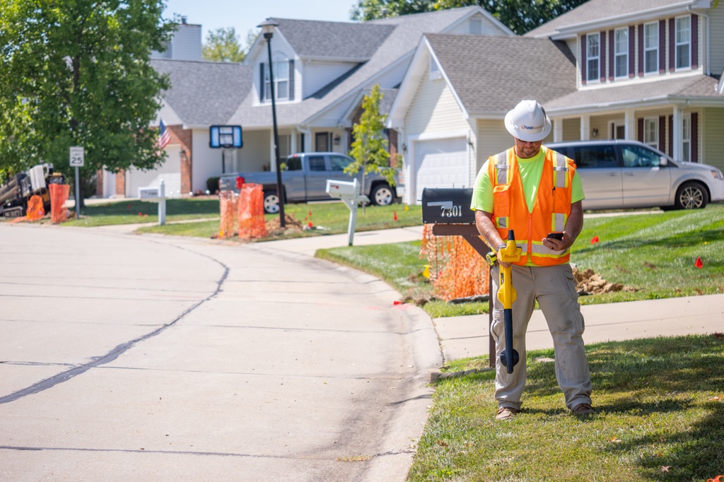
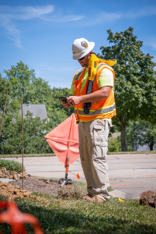
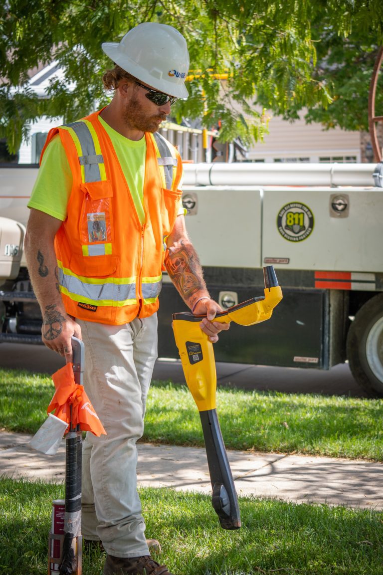
1. Field-Verified Utility Mapping
While locators typically mark utilities with paint and flags, UtiliSource takes it a step further. Using GIS (Geographic Information Systems), GPS tools, and field documentation, UtiliSource captures and stores the exact location and depth of underground lines.
That data can then be used to:
- Reduce the need for future repeat tickets
- Enable faster marking based on verified location data
- Improve city planning and excavation coordination
- Maintain digital records of utility locations for long-term use
2. Supplemental Locating Services
In high-volume areas, UtiliSource can support or supplement city locating teams. Whether acting as a direct locator or assisting with difficult or unknown utilities, UtiliSource improves efficiency by combining locator expertise with mapping technology.
This collaboration reduces ticket backlog and ensures that even complex sites are addressed quickly and accurately.
3. Proactive Mapping to Prevent Tickets
Cities often face a flood of 811 requests in areas that undergo frequent construction or maintenance. By proactively mapping these high-traffic areas, UtiliSource helps municipalities stay ahead of demand. When digital utility maps are available, cities can respond to tickets more confidently and even reduce the number of tickets submitted in the first place (e.g., when information can be shared with internal departments or contractors beforehand).
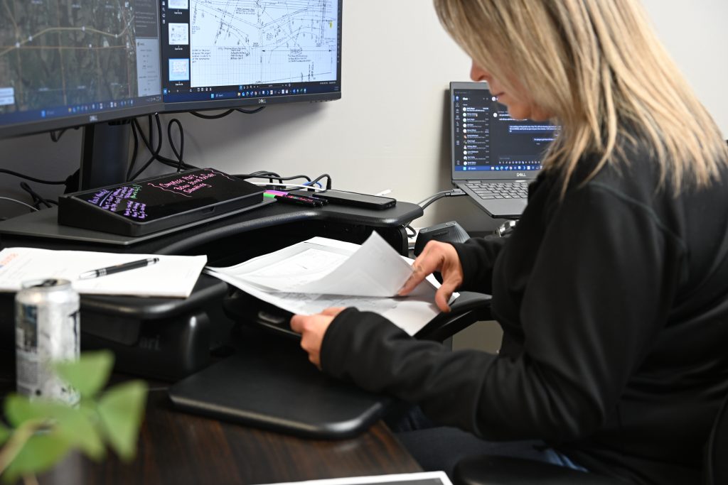
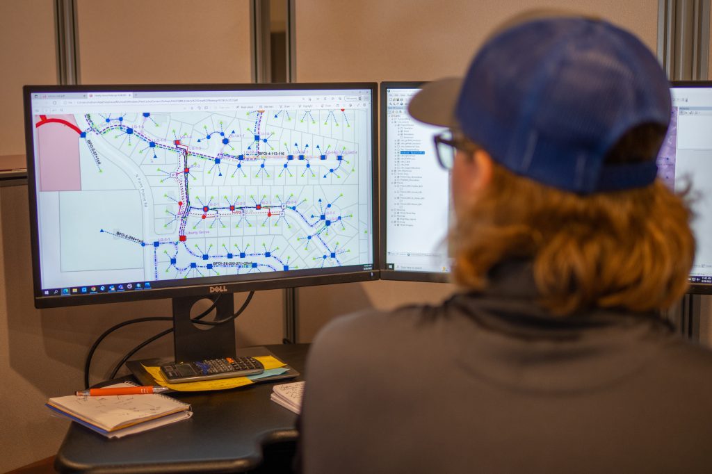
4. Centralized Utility Data Management
UtiliSource helps municipalities transition from paper maps or scattered records to a centralized, digital utility map. This central system can be accessed by:
- Locators in the field
- Engineers and planners
- Project managers
- Contractors working with the city
By sharing one source of truth for utility locations, cities can reduce errors, eliminate unnecessary re-markings, and streamline coordination across departments.
5. Reducing Repeat and Mismarked Tickets
One of the biggest inefficiencies in 811 ticket management comes from repeat tickets. These often happen because:
- The site wasn’t properly documented
- The utility was marked incorrectly
- Another team couldn’t verify a previous mark
UtiliSource’s digital mapping eliminates these issues. With each mark documented and stored, cities can reference past work and prevent unnecessary ticket duplication. This saves time and reduces labor costs, while still complying with legal and safety requirements.
6. Long-Term Cost Savings
By reducing ticket volume, improving mapping accuracy, and preventing excavation damage, UtiliSource helps cities lower both short- and long-term costs. This includes:
- Fewer locator callouts
- Reduced repair costs from accidental hits
- Lower liability and insurance expenses
- Better use of municipal resources
Why Accurate Mapping Matters for Damage Prevention
The core benefit of what UtiliSource provides is accuracy. When cities rely on outdated records, hand-drawn maps, or guesswork, they increase the risk of utility strikes during digging. But when utilities are mapped accurately—and updated in real time during every field visit—every stakeholder has a clearer picture of what lies beneath the surface.
This dramatically reduces:
- Emergency repair costs
- Service disruptions for residents
- Environmental and safety risks
Conclusion
Utility locating is a necessary part of city operations, but the current ticket system can be burdensome without proper data and field tools. UtiliSource empowers cities and municipalities by supporting locators with field-verified mapping and long-term utility data management.
The result is fewer tickets, more accurate locates, and stronger infrastructure planning. For municipalities looking to reduce costs, improve safety, and modernize their approach to underground utility management, UtiliSource is a trusted partner.
Want to explore how UtiliSource can support your city’s locating strategy? Reach out to learn more about our mapping and locator support services.