Subsurface utility mapping is one of the most important steps in modern infrastructure planning and maintenance. Whether it’s for construction, roadwork, or utility upgrades, knowing exactly what’s underground helps avoid costly and dangerous mistakes.
For cities, contractors, and utility providers, this process reduces project delays, prevents utility strikes, and ensures compliance with state and federal regulations. At Utilisource, subsurface utility mapping is a cornerstone of how we help public and private clients manage their underground assets with confidence.
What Is Subsurface Utility Mapping?
Subsurface utility mapping refers to the process of locating and documenting the position of underground utilities before digging or construction begins. These utilities may include water lines, gas pipes, electrical conduits, telecom cables, sewer systems, and more.
This mapping process uses a variety of tools and technologies, such as ground-penetrating radar (GPR), electromagnetic locators, and geospatial software, to identify the exact location and depth of buried infrastructure. The collected data is then processed and turned into detailed maps or 3D models that can be referenced during planning and fieldwork.
Why Accurate Underground Mapping Matters
Mistakes in utility locating can be dangerous and expensive. Hitting a gas line, for example, may lead to a public safety emergency, environmental hazards, or serious injury. Damaging a fiber optic cable can disrupt service to thousands of customers.
Here’s why subsurface utility mapping is essential:
- Reduces Utility Strikes: Detailed underground maps help excavators avoid damaging active lines and structures.
- Saves Time and Money: Preventing rework, change orders, and emergency repairs lowers project costs.
- Improves Safety: Workers, residents, and nearby businesses are safer when underground risks are identified in advance.
- Supports Permitting and Compliance: Municipalities often require utility documentation before issuing excavation permits.
- Informs Design Decisions: Engineering teams can optimize plans around known obstacles underground.
How the Process Works
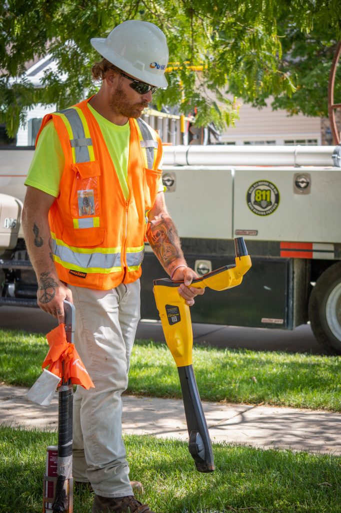
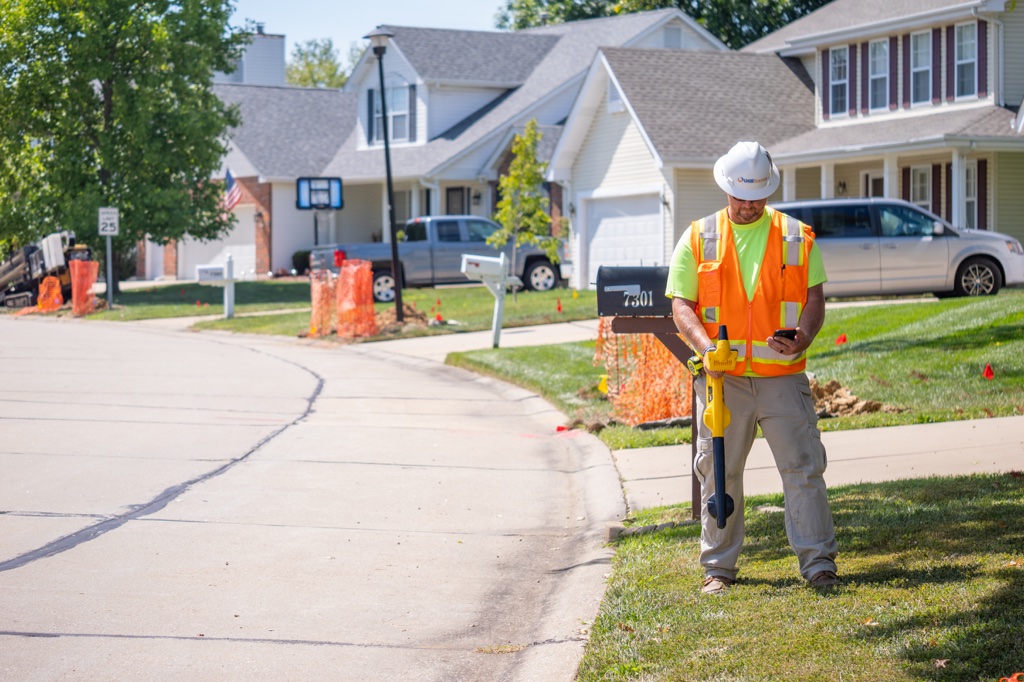
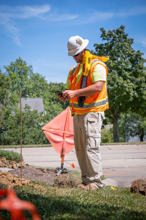
Subsurface utility mapping often begins before a shovel hits the ground. It starts with reviewing existing utility records, permits, and GIS databases. Next, field technicians scan the target area using advanced detection equipment, such as:
- Ground-Penetrating Radar (GPR): Sends signals into the ground and detects changes in density caused by buried objects.
- Electromagnetic Locators: Track electric current running through active lines, such as power cables or tracer wires on pipes.
- Vacuum Excavation (as needed): In cases where visual confirmation is critical, soft-digging methods may be used to safely expose buried assets.
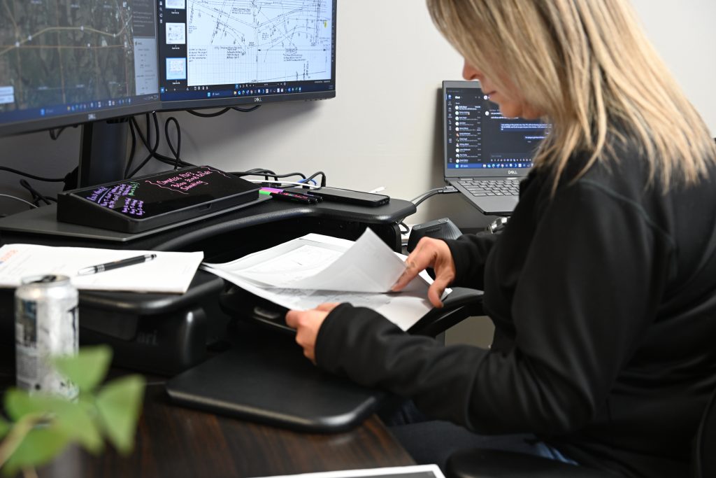
Once collected, the data is imported into mapping software where it is layered with geospatial data to produce comprehensive underground utility maps. These maps are formatted for use by designers, construction crews, and permitting agencies.
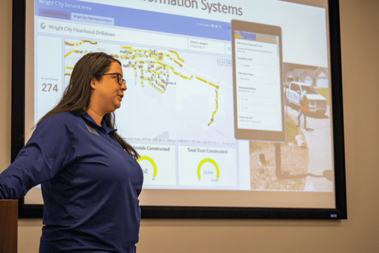
The Role of GIS in Subsurface Utility Mapping
Geographic Information Systems (GIS) are essential to organizing, managing, and updating subsurface utility maps. GIS technology connects field data with accurate geographic coordinates, allowing teams to track utility assets over time.
For example, when a new line is installed or an existing line is rerouted, GIS software updates the record in real time. This keeps utility records current and reduces the chance of data loss between projects.
GIS also helps project managers and planners visualize underground networks at scale, coordinate across departments, and integrate maps into broader asset management platforms.
Utilisource’s Expertise in Subsurface Utility Mapping
At Utilisource, we specialize in full-service subsurface utility mapping solutions tailored to each project’s needs. Our approach combines field-first expertise with the latest in GIS, mapping, and detection tools.
We don’t just find underground utilities—we document them in usable formats that work across your team, from permitting and planning to construction and compliance.
We support:
- Municipalities: Helping cities map outdated infrastructure and reduce utility locating tickets.
- Developers: Delivering verified subsurface utility data before new builds or road expansions.
- Engineering Firms: Providing accurate data to inform CAD and design models.
- Utility Providers: Mapping aging infrastructure for maintenance planning or system upgrades.
Conclusion
Subsurface utility mapping plays a critical role in preventing damage, improving safety, and keeping projects on schedule. As cities grow and infrastructure ages, the need for accurate underground mapping becomes even more urgent.
Utilisource delivers advanced, reliable, and scalable subsurface utility mapping services to help clients reduce risk and gain a better understanding of what lies beneath the surface. With the right tools, training, and field experience, we help you see the full picture before digging begins.
Meta Description:
Learn how subsurface utility mapping improves safety, prevents delays, and enhances asset management for municipalities with help from Utilisource.