Underground utility locating is one of the most important steps in any construction or excavation project. Mistakes can lead to costly delays, property damage, and serious safety risks. That’s where advanced underground utility locating becomes essential. With the right tools and technology, project teams can accurately map out buried infrastructure before any digging begins.
What Is Advanced Underground Utility Locating?
Traditional utility locating often relies on basic electromagnetic equipment and paper records. These older methods leave room for error, especially in busy urban areas or sites with outdated or missing utility maps. Advanced underground utility locating goes a step further by using a combination of technologies to find and mark underground assets more accurately.
These technologies include ground penetrating radar (GPR), electromagnetic sensors, GPS, utility mapping software, and even LiDAR in some cases. When used together, they give a clearer picture of what’s buried and where—helping crews avoid damaging water lines, fiber optic cables, gas pipes, and electrical conduits.
Why It Matters for Safety and Efficiency
Every year, utility strikes cause service interruptions, accidents, and expensive repairs. In most cases, these incidents are preventable. Using advanced locating techniques helps teams reduce these risks. It also saves time and keeps projects moving forward.
Knowing the exact location of underground utilities can help prevent:
- Power outages due to damaged electrical cables
- Gas leaks from broken pipelines
- Flooding from ruptured water mains
- Internet or phone service disruptions
- Legal fines and liability for unreported utility strikes
Advanced locating also improves coordination between contractors, engineers, and municipalities. When everyone has access to accurate utility maps, it’s easier to plan work zones, avoid conflicts, and respond quickly when unexpected issues arise.
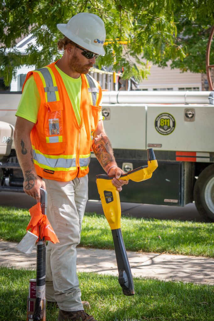
Tools Used in Advanced Utility Locating
Technology is changing how utility locating is done. Today’s field teams use a combination of tools to build a complete picture of what lies below the surface. These include:
- Ground Penetrating Radar (GPR): Sends radar waves into the ground to detect objects and voids, especially non-metallic utilities like plastic or concrete pipes.
- Electromagnetic Locators: Detect signals emitted by utility lines or tracer wires to identify their location.
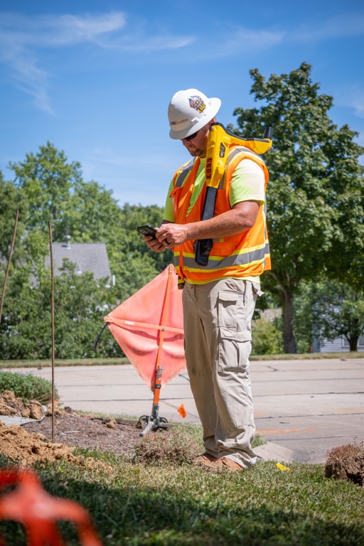
- GPS/GNSS Devices: Mark exact utility positions and feed data into digital mapping systems for accurate GIS records.
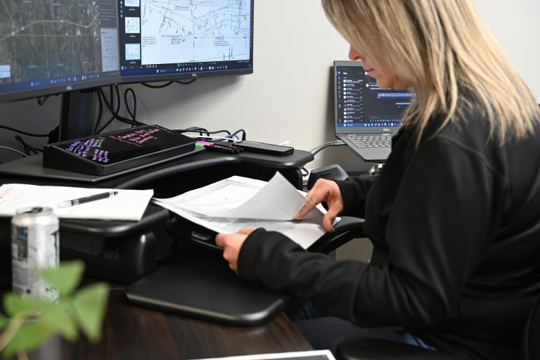
- Utility Mapping Software: Turns raw field data into easy-to-use digital maps and project documentation.
- Mobile Tablets and Cloud-Based Systems: Allow field crews to update and access utility information in real time.
When used together, these tools help create reliable subsurface utility maps that reduce guesswork and avoid costly digging mistakes.
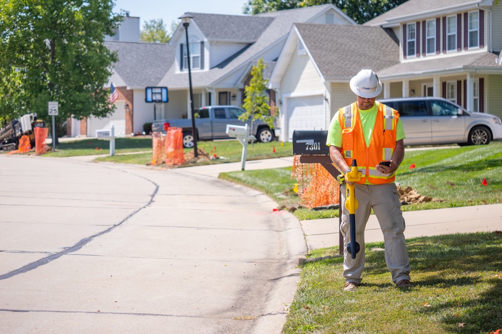
How Utilisource Leads in Utility Locating
Utilisource is a trusted provider of advanced underground utility locating services for public agencies, private contractors, and utility owners. Our team combines proven experience with cutting-edge technology to deliver precise, reliable results.
We work with clients to locate and document underground assets before, during, and after construction. Whether it’s mapping fiber optic routes, finding gas lines, or supporting city-wide infrastructure upgrades, Utilisource offers tailored solutions based on project needs and environmental conditions.
Our services are designed to support:
- Pre-construction planning
- Engineering and design verification
- Ongoing utility maintenance
- Emergency response and damage prevention
By integrating field data into comprehensive GIS platforms, we help our clients build smarter, safer utility systems and reduce long-term costs.
Conclusion
Advanced underground utility locating is more than a safety measure—it’s a smart investment in the success of any infrastructure project. With the right tools and expertise, teams can work faster, reduce liability, and protect critical underground systems. Utilisource brings the knowledge and technology needed to make that possible, turning complex field challenges into clear, actionable data.