Surveying equipment plays a vital role in the utility industry, providing the precision and reliability needed to map, plan, and manage underground infrastructure. Whether a city is expanding its electric grid, a construction firm is laying new water lines, or a utility company is coordinating fiber optic installation, accurate data is the foundation of safe and efficient operations.
Utilisource understands the critical function of surveying tools in modern utility projects and integrates advanced surveying methods into its suite of services. This article explores the importance of surveying equipment, what it includes, and how it’s shaping utility asset management and field service delivery.
What Is Surveying Equipment and Why Does It Matter?
Surveying equipment refers to the tools and technology used to determine the positions of points and the distances and angles between them. This data is used to create detailed maps, site plans, and models of existing infrastructure, land features, and utility lines.
In the utility sector, accurate surveying is non-negotiable. It enables safe digging, avoids costly utility strikes, and supports compliance with municipal and federal regulations. With more cities adopting digital infrastructure management systems, high-precision data from field surveys is more valuable than ever.
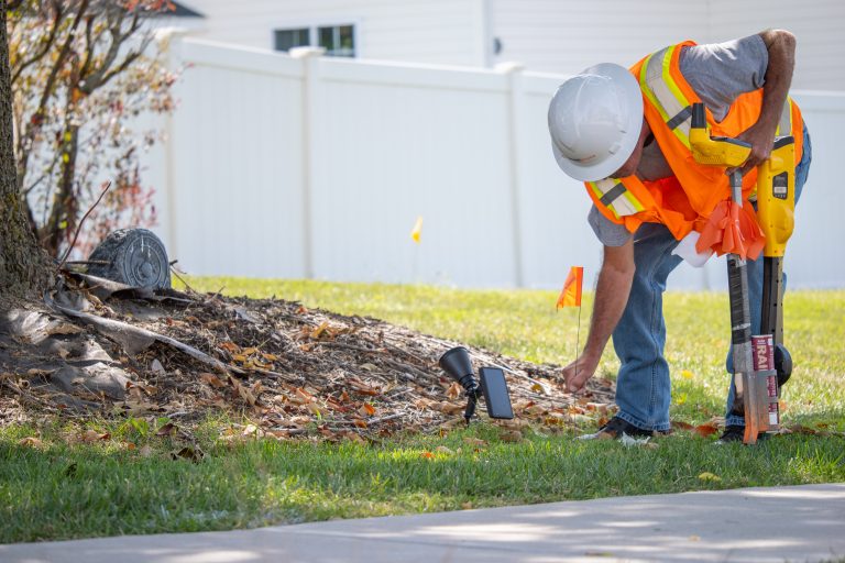
Common Types of Surveying Equipment Used in Utility Projects
To support diverse projects and terrains, utility professionals rely on a variety of tools, including:
- Total Stations: These instruments combine electronic distance measurement and angle measurement to record precise 3D coordinates. They’re often used in establishing control points and mapping buried infrastructure.
- GPS/GNSS Surveying Tools: These devices use satellite signals to determine exact locations on Earth. When paired with Real-Time Kinematic (RTK) correction, GPS tools can achieve centimeter-level accuracy, making them ideal for mapping underground utilities.
- Levels and Auto Levels: These tools are used to measure elevation differences across a site, which is crucial for water flow planning, trench design, and identifying grade issues.
- 3D Laser Scanners: Laser scanning captures millions of data points per second, creating detailed digital models of environments. This technology is especially useful in dense urban settings or sites with overlapping utility networks.
- Drones with Photogrammetry: In large-scale utility projects, drones equipped with high-resolution cameras and LIDAR sensors can map sites from above, capturing data quickly and safely.
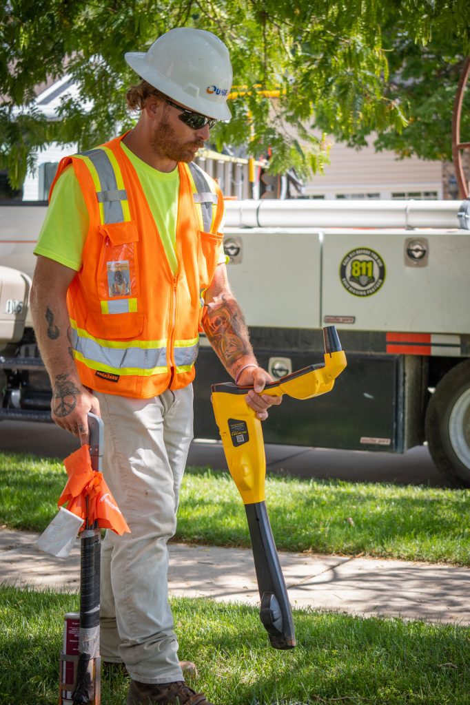
- Ground Penetrating Radar (GPR): While not always grouped under traditional surveying equipment, GPR is indispensable for locating underground pipes, cables, and voids before excavation.
Surveying Equipment and Utility Asset Management
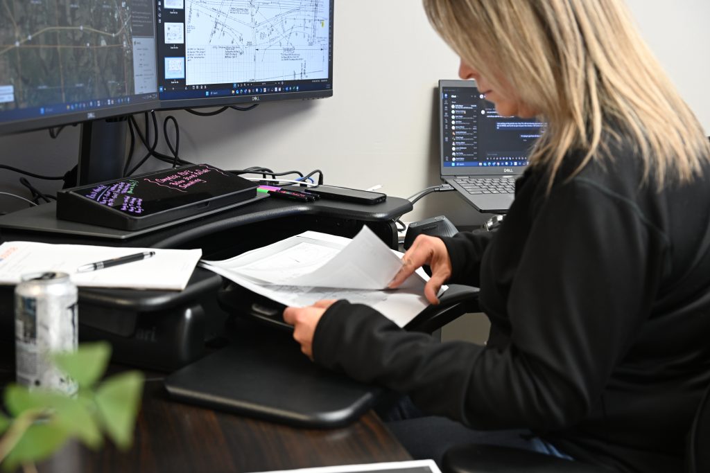
As cities modernize and underground infrastructure becomes more complex, asset management systems depend heavily on accurate location data. Surveying equipment feeds high-quality inputs into utility asset management software, enabling:
- Better planning of maintenance and construction projects
- More accurate records of utility locations
- Reduced risks of accidental damage during excavation
- Improved response time during emergency repairs
- Enhanced public safety
Utilisource uses surveying tools to create GIS-based digital twins of underground systems. These models help municipalities visualize where every pipe, cable, or conduit is located—streamlining future repairs, upgrades, and inspections.
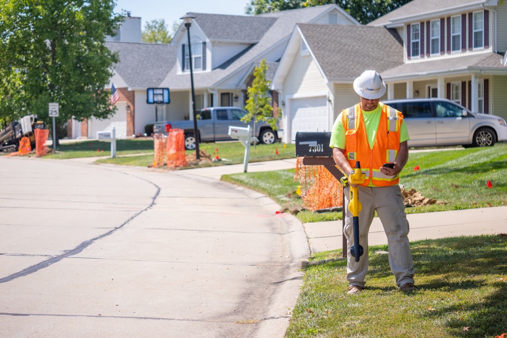
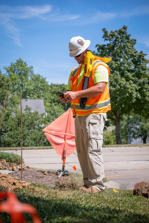
How Utilisource Uses Surveying Equipment in the Field
Utilisource integrates professional surveying equipment into its utility mapping, compliance, and engineering workflows. From the initial site walk to final documentation, the Utilisource team prioritizes precision in every step. Some core applications include:
- Pre-Construction Surveys: Before digging, Utilisource surveys utility corridors to verify as-built conditions and detect undocumented lines.
- Post-Installation Verification: After utilities are installed, Utilisource captures their exact depth, location, and alignment for future reference and compliance documentation.
- Mapping for Locating Support: Surveying data is used to help reduce the number of unnecessary 811 tickets and mislocates, particularly for municipal clients.
- Integration with GIS: Surveyed data is seamlessly imported into geographic information systems (GIS) for real-time access, asset tracking, and project management.
Why High-Quality Surveying Equipment Matters
Using outdated or inaccurate equipment can lead to serious consequences in utility work:
- Striking a gas line due to poor depth data
- Misaligned sewer pipes that cause backups
- Fiber optic lines being severed during unrelated construction
- Legal disputes over property encroachments
Surveying equipment isn’t just about measuring distances—it’s about minimizing risk, ensuring compliance, and saving time and money. When project stakeholders have confidence in their data, they can make better decisions and avoid costly errors.
Conclusion
Surveying equipment is a critical part of any modern utility project. From locating buried lines to building a reliable utility asset management system, these tools make safe, efficient infrastructure development possible. Utilisource leverages state-of-the-art surveying technology to support cities, utility companies, and contractors in building smarter, safer, and more accurate underground systems.
Whether you’re a municipality looking to modernize your utility records or a contractor preparing for a complex installation, Utilisource brings the tools and expertise to map the future—accurately, efficiently, and safely.