How Private Gas Line Locators Help Cities Avoid Costly Utility Strikes
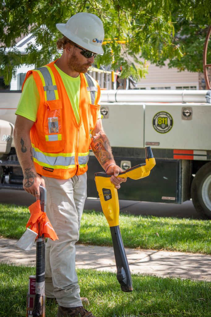
Protecting What Lies Beneath: The Role of Private Gas Line Locators Every year, underground gas lines are accidentally struck by contractors or homeowners, leading to
Protecting What Lies Beneath: The Role of Private Gas Line Locators Every year, underground gas lines are accidentally struck by contractors or homeowners, leading to
Electrical systems can seem complex, but understanding a few key parts makes them easier to manage. One of those parts is the electrical feeder—a critical
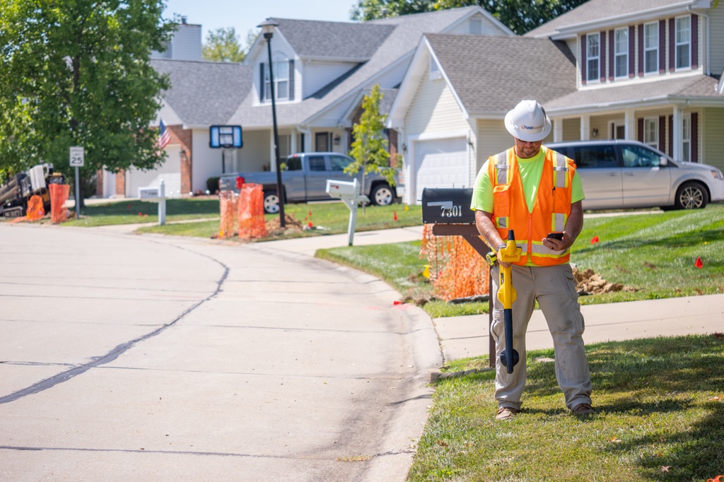
Underground utility locating is one of the most important steps in any construction or excavation project. Mistakes can lead to costly delays, property damage, and
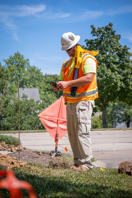
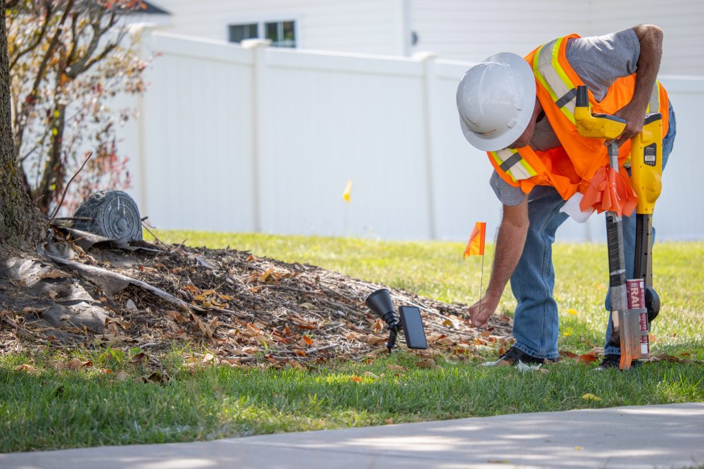
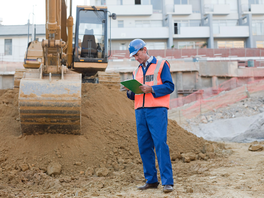
Field inspection is a critical part of any construction, utility, or infrastructure project. It involves physically going out to a site to verify that the
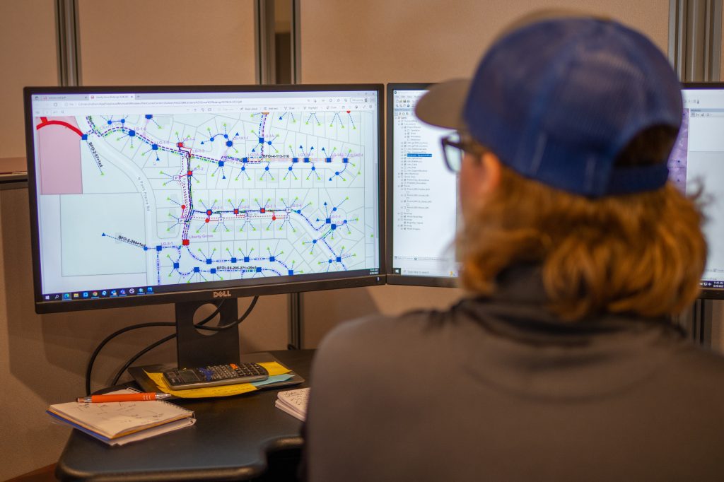
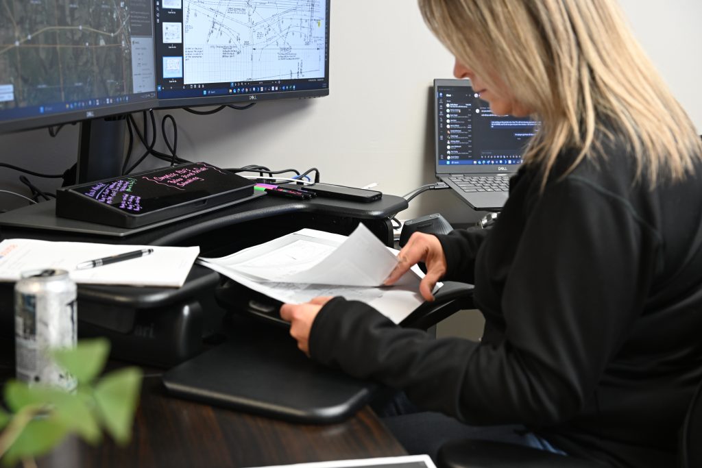
Geographic Information Systems (GIS) have transformed how cities operate, grow, and serve their communities. For municipalities managing complex utility infrastructures, GIS is more than just

Subsurface utility mapping is one of the most important steps in modern infrastructure planning and maintenance. Whether it’s for construction, roadwork, or utility upgrades, knowing
Surveying equipment plays a vital role in the utility industry, providing the precision and reliability needed to map, plan, and manage underground infrastructure. Whether a
Before any excavation, construction, or infrastructure work begins, one of the most important steps is locating and mapping electrical utilities. Failing to do so can
In today’s fast-paced utility environment, clear and efficient network infrastructure design is no longer optional. From smart grids to underground utilities, the way a network
The systems that keep cities running are mostly invisible. Power lines, water mains, gas pipelines, fiber cables, and storm drains often lie buried beneath our