Municipal operations depend on having the right information at the right time. But for many cities, that information is spread across paper maps, outdated files, spreadsheets, and disconnected systems.
When data is scattered, staff spend more time searching, verifying, and reacting. Institutional knowledge lives with individuals instead of systems. And when something urgent happens in the field, teams are often working without a clear, complete picture.
Cities don’t need more tools.
They need systems that bring everything together.
From Disconnected Data to Operational Clarity
UtiliSource provides municipal GIS services designed around how cities actually operate, in the office, in the field, and during time-sensitive situations.
Instead of treating GIS as a technical system, our approach focuses on making it a daily-use operational tool.
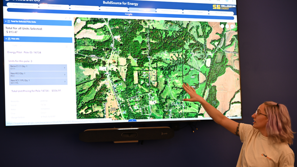
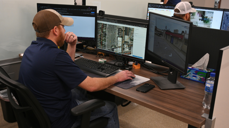
We help cities bring maps, assets, inspections, maintenance activity, and service information into one organized view, giving staff and leadership a clear, shared understanding of what’s happening across the city.
What Cities Gain from a Connected System
When information is centralized and accessible, the impact is immediate and measurable across departments.
Faster Access to Information
Staff no longer have to search across multiple systems or verify outdated records. Critical information is available when it’s needed.
Better Response in the Field
Crews can make decisions with confidence using accurate, up-to-date data, especially during time-sensitive situations.
More Organized Asset & Record History
Infrastructure, maintenance, and service activity are tracked over time, creating a reliable system of record that doesn’t depend on memory.
Improved Coordination Across Departments
Public works, administration, planning, and field teams are working from the same information, reducing miscommunication and delays.
Stronger Support for Planning & Reporting
Organized data makes it easier to plan projects, justify decisions, and report to stakeholders, councils, and funding sources.
Built for How Cities Actually Work
Municipal GIS systems should not be complex or difficult to use. They need to work in real-world conditions, across different roles, responsibilities, and environments.
UtiliSource systems are designed for:
- Public Works teams managing infrastructure
- City administration overseeing operations
- Planning and zoning departments
- Inspectors tracking activity and compliance
- Field crews responding to issues in real time
The goal is simple:
Make information easier to access, understand, and act on.
What These Systems Help You Manage
A connected GIS system allows cities to organize and manage critical operational areas in one place.
Infrastructure
Track utilities, networks, and supporting records with clear, accessible mapping.
Facilities & Property
Maintain visibility into streets, buildings, public spaces, and city-owned assets.
Work Activity
Monitor inspections, maintenance, service requests, and project status with a clear history of activity.
Practical Tools for Daily Municipal Operations
UtiliSource provides systems and dashboards that are built to support everyday city functions, not just long-term planning.
Examples include:
- Citizen Problem Dashboard for tracking and responding to reported issues
- Utility Maps for clear infrastructure visibility
- Gas Valve Dashboard
- Water Valve Dashboard
- Hydrant Dashboard
- Cemetery Dashboard
- Road Repair and Surfacing Map
Each of these tools connects back to a single, organized system, giving cities a complete and consistent view of their operations.
Why UtiliSource
UtiliSource is built around practical application, not overbuilt systems or unnecessary complexity.
Systems Designed for Daily Use
We focus on usability so teams can rely on the system every day.
Clear Maps and Easy-to-Read Dashboards
Information is presented in a way that supports decision-making, not confusion.
Better Access to Infrastructure and Asset Information
Cities gain reliable, organized visibility into critical assets.
Support for Planning, Inspections, and Maintenance
A single system supports multiple functions across departments.
Stronger Continuity Through Staff Changes
Information stays within the system, reducing the impact of turnover and preserving long-term knowledge.
From Reactive to Proactive Operations
Without a connected system, cities are often reacting, searching for information, verifying details, and responding after issues arise.
With the right system in place, that approach shifts.
Teams can:
- See what’s happening in real time.
- Understand infrastructure and activity history.
- Respond faster and with more confidence.
- Plan ahead instead of reacting late.
This shift improves not just efficiency, but the overall quality and reliability of municipal operations.
A Clearer Way to Run City Operations
Cities don’t need more complexity.
They need clarity.
UtiliSource helps municipalities organize their information, improve coordination, and build systems that support daily operations, not slow them down.
When everything is connected, teams spend less time searching and more time solving.
It centralizes maps, assets, and operational activity into one system, reducing time spent searching for information and improving response times across departments.
Yes. Systems are designed to bring together existing records, maps, and operational data into a more organized and usable format.
They provide immediate visibility into infrastructure locations, status, and history, helping teams respond faster and plan maintenance more effectively.
They improve visibility, reduce inefficiencies, and support better coordination and decision-making across departments.
They address disorganized data, slow response times, lack of coordination, and difficulty maintaining long-term records.
No. Smaller municipalities often benefit significantly by gaining structure, visibility, and efficiency without needing large internal teams.