Digital mapping has revolutionized how utility companies approach damage prevention, providing precise, real-time data on underground utilities. By integrating tools like geographic information systems (GIS) and GPS technology, digital mapping enables accurate location tracking, reducing the risk of costly accidents and service disruptions.
This article explores how digital mapping and damage prevention strategies support the safe and efficient management of underground facilities, protecting critical infrastructure and improving project outcomes.
Why Damage Prevention Matters in Utility Management
Damage prevention is a top priority for utility companies, especially when dealing with underground infrastructure like gas pipelines, water mains, and telecommunications lines. Excavation damage can lead to hazardous situations, costly repairs, and service interruptions that impact communities and businesses alike. According to industry studies, damage to underground utilities during excavation is one of the most common and costly issues faced by utility companies.
Through advanced digital mapping, utility managers can create highly accurate maps, including detailed data on underground facilities. This level of accuracy enables crews and project managers to plan excavation work more effectively, reducing the likelihood of accidental line strikes. Preventive mapping strategies help save on repair costs and provide a safer environment for workers and residents near excavation sites.
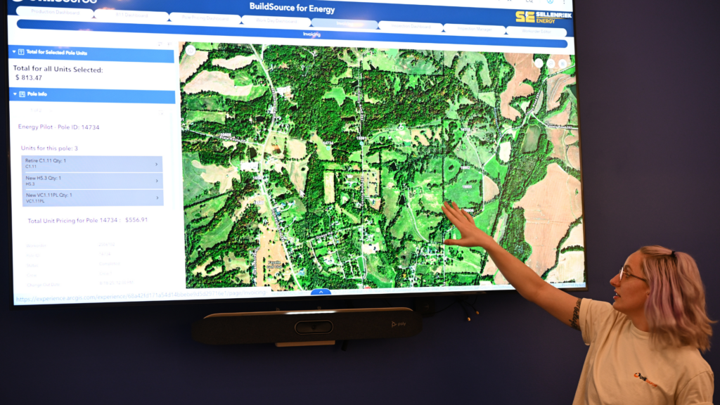
Geographic Information Systems (GIS): The Foundation of Damage Prevention
Geographic Information Systems (GIS) are the backbone of modern digital mapping efforts in utility management. GIS platforms allow utility managers to integrate data from multiple sources—such as GPS technology, map data, and real-time call center reports—into a centralized system. With GIS, utility companies can create detailed maps, including critical information on underground utilities and facilities, making it easy to assess risks and plan safe excavation activities.
- Mapping Underground Facilities: GIS technology offers utility companies a clear, accurate view of underground facilities, including gas lines, water pipes, and communication networks. By overlaying map data with existing infrastructure, GIS helps utility teams quickly locate and assess potential risks.
- Real-Time Data Integration: A major advantage of GIS is its ability to incorporate real-time data from GPS technology and other sources. This dynamic approach keeps maps current, ensuring that project managers have access to up-to-date information on underground utilities before beginning excavation.
- Enhanced Visualization: GIS platforms provide a visual representation of underground infrastructure that is easy to interpret. With layers showing various types of utilities, project managers and utility locators can identify potential hazards, minimizing the risk of accidental damage.
GPS Technology: Enhancing Precision in Utility Mapping
GPS technology plays a crucial role in improving the accuracy of digital mapping and damage prevention efforts. By using GPS coordinates, utility managers can pinpoint the exact location of underground utilities with remarkable precision. This accuracy reduces the chances of hitting underground facilities during excavation work, making it a vital tool for damage prevention.
- High-Precision Location Tracking: GPS technology enables utility locators to accurately mark the location of critical infrastructure, such as pipelines and communication lines. This level of precision allows for safer excavation planning and reduces the risk of costly damage.
- Efficient Data Collection: GPS technology speeds up data collection, allowing utility companies to quickly gather information on underground facilities. This efficiency is essential for creating accurate, comprehensive maps that reflect the current state of underground infrastructure.
- Seamless Integration with GIS: GPS data can be easily integrated with GIS platforms, allowing utility companies to develop interactive maps, including detailed information on each underground utility. This integration provides a comprehensive overview, empowering project managers to make informed decisions.
Damage Prevention and the Role of Call Centers
Effective damage prevention relies not only on technology but also on communication between utility companies and those involved in excavation. Call centers play an essential role in facilitating this communication. Before beginning any excavation work, contractors are encouraged to contact call centers to confirm the location of underground facilities, ensuring that they have the latest map data.
- Real-Time Updates from Call Centers: Call centers can provide real-time information on underground utilities, alerting excavation crews to any recent changes or risks. This communication ensures that contractors have the latest data, minimizing the chances of excavation damage.
- Coordination and Compliance: Call centers also help coordinate activities between contractors and utility managers, promoting compliance with safety regulations. By encouraging the use of map data before excavation, call centers support safe, efficient project execution.
- Prevention of Service Disruptions: Timely updates from call centers reduce the risk of accidental line strikes that could disrupt essential services. This proactive approach ensures that critical infrastructure remains intact, benefiting both utility companies and the communities they serve.
Digital Mapping Techniques for Enhanced Damage Prevention
Digital mapping combines various tools and methods to create an effective damage prevention strategy. Some of the most widely used techniques include:
- Interactive Maps with Layered Data
Interactive maps offer a comprehensive view of underground facilities by layering different types of utility data. This allows project managers to see where gas lines, water pipes, and other utilities are located relative to each other. With layered data, crews can identify potential conflict areas and plan excavation projects to avoid accidental damage. - Real-Time Map Updates
Using real-time data from GIS and GPS technology, digital maps can be continuously updated. This real-time approach ensures that utility locators and excavation teams always have access to the most accurate information, reducing the likelihood of outdated or inaccurate maps leading to excavation damage. - 3D Mapping for Subsurface Visualization
Some digital mapping tools offer 3D visualization, providing a detailed, realistic view of underground infrastructure. This technology allows project managers to see depth, distance, and spatial relationships between utilities, making it easier to avoid conflicts during excavation.
Benefits of Digital Mapping and Damage Prevention
Digital mapping for damage prevention brings a host of advantages, both for utility companies and the communities they serve. Here are some key benefits:
- Reduced Risk of Accidents: Accurate digital maps help reduce the risk of line strikes, protecting both workers and surrounding communities from potential hazards.
- Lower Repair Costs: Preventing excavation damage leads to significant cost savings, as utility companies can avoid unplanned repairs and service interruptions.
- Efficient Project Execution: With access to precise map data, project managers can plan and execute excavation projects more effectively, meeting deadlines and budgets while ensuring safety.
- Enhanced Community Trust: By prioritizing safety and preventing damage, utility companies build trust with the communities they serve, demonstrating a commitment to responsible management.
The Future of Damage Prevention in Utility Management
As technology continues to advance, digital mapping and damage prevention methods are becoming even more sophisticated. The integration of GIS, GPS technology, and real-time call center updates provides a powerful foundation for safe utility management. In the future, developments like AI-driven predictive maintenance and IoT sensors embedded within infrastructure could further enhance damage prevention strategies.
By embracing these tools, utility companies can ensure that their infrastructure is managed safely and efficiently, reducing risks and promoting a culture of proactive damage prevention. The combination of digital mapping and advanced damage prevention methods represents a crucial step toward safer, more reliable utility services.
Conclusion: Protecting Infrastructure with Digital Mapping
Digital mapping has transformed damage prevention in utility management, making it easier to locate underground utilities and prevent accidental damage during excavation. By leveraging GIS, GPS technology, and real-time call center support, utility companies can create detailed, interactive maps, including comprehensive data on underground facilities.
Accurate and timely mapping data enables utility managers to plan projects safely, reduce repair costs, and ensure the continuous delivery of essential services. With ongoing advancements in technology, digital mapping will continue to play a vital role in protecting underground infrastructure and supporting efficient utility management for years to come.