A broadband construction project may begin with a proposed route on a map, but that line alone is not enough to guide engineering, permitting, and field crews.
Before construction begins, project teams need a collection of geographic information that explains where the network is expected to go, which locations it will serve, what existing conditions may affect the route, and where additional investigation is required. Effective broadband GIS mapping brings that information together so teams can work from a consistent view of the project.
When important data is missing, outdated, or poorly organized, problems can move downstream. A questionable location may affect the design. An overlooked permitting boundary may delay approvals. A route based on incomplete utility information may require changes after crews arrive.
The purpose of GIS is not simply to produce a map. It is to create usable, traceable information that supports better decisions throughout broadband construction planning.
The Foundational GIS Data Needed for Broadband Planning
The exact data required will vary by project, jurisdiction, and network design. However, several categories commonly form the foundation of fiber network GIS data.
Proposed routes
The proposed route shows where fiber, conduit, structures, and related infrastructure may be placed. Early routes are often planning assumptions rather than final construction paths.
A useful route dataset should distinguish between proposed, reviewed, approved, revised, and constructed segments. Without clear status information, teams may not know whether they are viewing an early concept or the current design.
Broadband-serviceable locations
Broadband-serviceable locations represent the homes, businesses, and other destinations the network is intended to reach. Accurate location data helps teams understand expected service coverage, evaluate route efficiency, and connect network design decisions to project goals.
If locations are duplicated, misplaced, or missing, the network may be designed around an inaccurate understanding of demand. Address information alone may also be insufficient when the mapped point does not represent the actual structure or likely connection location.
Parcels, easements, and rights-of-way
Parcel boundaries provide important context, but they do not automatically show where construction rights exist. Easements and rights-of-way help teams understand where infrastructure may be permitted, where additional coordination could be required, and which portions of a route need further review.
These datasets should be treated carefully. Their source, date, and level of confidence matter, particularly when records come from multiple local or regional authorities.
Existing utilities and infrastructure
Available records for electric, telecommunications, water, sewer, gas, drainage, and other infrastructure can influence route selection and constructability.
Existing utility maps are valuable planning resources, but they should not automatically be treated as complete or field-verified. Legacy plans, GIS records, surface features, utility markings, geophysical investigation, and physical exposure provide different levels of information. A usable GIS should make those distinctions visible rather than presenting every line with the same level of certainty.
Environmental and physical constraints
Wetlands, waterways, flood-prone areas, protected lands, terrain, railroads, highways, and other physical or environmental features may affect route feasibility, construction methods, permitting, and schedule.
Identifying these constraints early allows engineering teams to evaluate alternatives before a route advances too far through design.
Permitting and jurisdictional boundaries
Broadband routes may cross municipalities, counties, transportation corridors, utility territories, or other areas with different requirements. Mapping those boundaries helps project teams understand which agencies may need to review the work and where requirements could change along the route.
A route that appears continuous on a map may involve several separate permitting processes.
How Walkout and Field Data Refine the Initial Plan
Desktop data provides a starting point, but it cannot show every condition in the field.
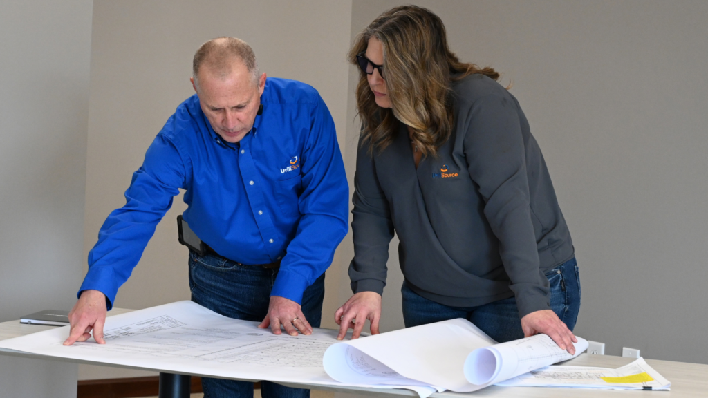
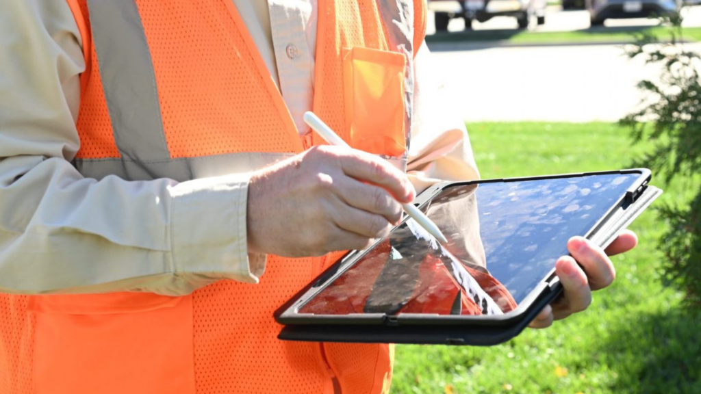
A walkout allows teams to compare the proposed route with visible features and current site conditions. Field personnel may document poles, pedestals, vaults, road crossings, drainage features, access limitations, surface conditions, possible utility conflicts, or changes that are not reflected in existing records.
This information can refine early network assumptions before they become embedded in detailed design. A proposed alignment may need to shift because the expected workspace is unavailable. A structure shown in a record may no longer exist. A crossing may require a different construction approach than the desktop review suggested.
Field findings should flow back into the GIS rather than remaining in handwritten notes, photographs, emails, or individual team members’ knowledge. When field data becomes part of the shared project record, engineering and construction teams can see what changed, where it changed, and why.
Why Data from Different Sources Must Be Aligned
Broadband projects often depend on data from multiple organizations. Parcel information may come from a county. Environmental layers may come from another agency. Existing utility information, service locations, field observations, engineering files, and permitting boundaries may each follow different formats and update schedules.
Bringing those datasets into one map does not automatically make them consistent.
Teams need to evaluate whether layers use compatible coordinate references, naming conventions, identifiers, route versions, and status definitions. They also need to document where information came from and when it was last updated.
For example, the same location might appear under slightly different addresses in two systems. Route segments may use different names across planning, engineering, and construction files. Field teams may collect new information without a clear method for connecting it to the original asset.
Consistent data management reduces the likelihood that one department will make decisions using information another department has already replaced.
What Happens When Location Data Is Missing or Inaccurate?
Data problems rarely remain limited to the GIS department. They can affect several phases of the project.
During design, inaccurate service locations or route information may produce unnecessary footage, missed connections, or alignments that do not reflect field conditions.
During permitting, incomplete jurisdictional and right-of-way information may lead to missing applications, revisions, or additional coordination.
During construction, crews may encounter conflicts, access limitations, or existing infrastructure that was not clearly documented in the information they received.
During reporting, inconsistent asset identifiers and route versions may make it difficult to communicate progress, document completed work, or produce dependable records.
Better data cannot eliminate every unknown. It can, however, make uncertainty visible so the appropriate investigation or decision can happen before the issue reaches the field.
What Should a Usable GIS Handoff Include?
A GIS handoff should give engineering and construction teams more than a collection of disconnected files. It should provide a clear and current representation of the project.
Depending on the project, a usable handoff may include:
- Approved or current route alignments
- Broadband-serviceable locations connected to the proposed network
- Proposed structures, crossings, and connection points
- Parcels, easements, and right-of-way information
- Known utility and infrastructure records
- Environmental, physical, and jurisdictional constraints
- Field observations and supporting photographs
- Permitting boundaries and current approval status
- Consistent asset identifiers and naming conventions
- Data sources, collection dates, confidence levels, and revision history
- Clear distinctions between proposed, verified, approved, and constructed information
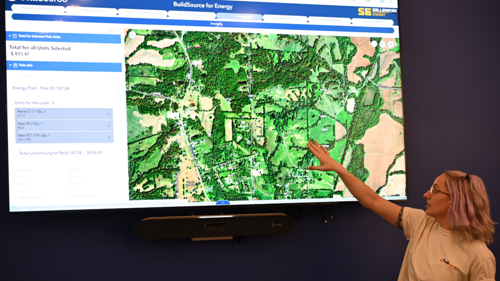
The format must also work for the people receiving it. Engineers may require information that supports detailed design. Permit coordinators need visibility into jurisdictional requirements and status. Construction teams need production maps that are clear, current, and practical in the field.
The handoff should also support information moving in the opposite direction. Redlines and verified construction details need a defined path back into the GIS so completed records reflect what was actually built.
Better Broadband Construction Begins with Better Information
Broadband construction does not start when equipment arrives. It begins when teams develop a shared understanding of the route, the locations being served, the existing conditions, and the decisions still required.
Effective broadband GIS mapping connects planning assumptions with field observations, engineering requirements, permitting responsibilities, and construction needs. It also helps teams distinguish between what is known, what is proposed, and what still needs to be verified.
That visibility supports clearer communication and more dependable project delivery. Instead of relying on disconnected records or knowledge held by individual team members, everyone can work from information that is organized, current, and designed to move with the project.
For broadband owners, municipalities, cooperatives, engineers, and contractors, that is what turns GIS from a map into an operational resource.
Not every layer requires the same type of verification. The appropriate level depends on how the information will be used, its source, and the consequences if it is inaccurate. Critical route conditions, utility conflicts, connection locations, and construction constraints may require additional field review or investigation.
A proposed route represents an initial alignment based on available planning information. A construction-ready route has progressed through the necessary field review, engineering, coordination, and permitting steps. The GIS should clearly identify the status of each route segment so early assumptions are not mistaken for approved construction information.
Field changes should follow a defined process that connects observations, photographs, redlines, and verified asset information to the correct project location and asset identifier. Updates should include the date, source, and status of the information so other teams can understand what changed.
GIS can show where routes cross jurisdictional boundaries, rights-of-way, transportation corridors, and environmentally sensitive areas. This helps teams identify which approvals may be required and track permitting responsibilities geographically.
Post-construction GIS records can support operations, maintenance, future expansion, asset management, reporting, and communication. Their usefulness depends on whether verified construction information and redlines are incorporated into the final record.
GIS organizes location-based project information, while engineering uses that information to develop detailed and constructible designs. The two functions should remain connected as field findings, design revisions, permitting decisions, and construction updates change the project.