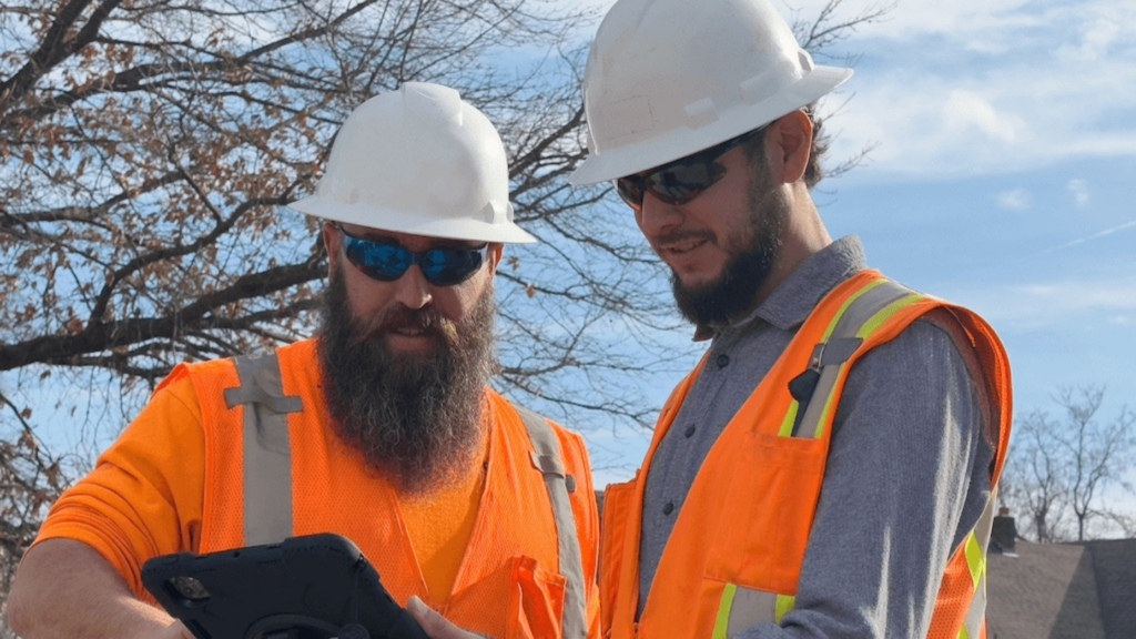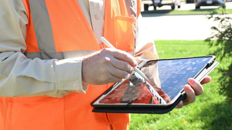
Broadband expansion is often described as a construction challenge. The public sees crews, equipment, conduit, and fiber moving through a community. Project teams see a much larger picture.
Before construction begins, and throughout the life of the project, teams must manage engineering designs, field observations, utility information, permitting requirements, GIS records, production maps, redlines, and construction updates. Each source contributes an important piece of the project, but those pieces do not always remain connected.
As broadband programs expand across larger service areas, the challenge is no longer simply collecting enough information. It is making sure the right information reaches the right team at the right time.
When that does not happen, data becomes a bottleneck. Teams may be working from different versions of the same project, field conditions may not make it back into the design, and decision-makers may struggle to understand what has been planned, approved, constructed, or changed.
Reliable broadband delivery increasingly depends on reliable information management.
The New Broadband Reality
Broadband deployment involves more than placing infrastructure in the ground or attaching it to existing structures. Each project must move through a series of connected planning, engineering, mapping, permitting, and construction activities.
A high-level design may establish the initial direction, but it cannot capture every condition crews will encounter. Fielding adds real-world context. Drafting and design translate that information into a more detailed plan. GIS organizes project data geographically. Permitting introduces additional requirements and approvals. Construction then produces new information through progress updates, field adjustments, redlines, and final records.
That process becomes more complex as a broadband program grows.
A small project may involve a limited geographic area and a relatively small group of contributors. A broader expansion effort may involve multiple jurisdictions, project phases, crews, utility owners, contractors, and internal departments. More activity creates more information, more handoffs, and more opportunities for something to become disconnected.
The challenge is not necessarily that a project lacks data. In many cases, teams have a significant amount of it. The challenge is determining:
- Which information is current
- Where that information is stored
- Who is responsible for updating it
- Whether field conditions match the design
- Whether engineering, GIS, permitting, and construction are working from the same project picture
- How changes are communicated across teams
Broadband expansion becomes a data management challenge when the volume and movement of project information outgrow the processes used to manage it.
The Data Sources Required for Broadband Expansion
No single document tells the entire story of a broadband project. Reliable execution depends on information gathered and refined throughout the project lifecycle.
High-Level Engineering Design
High-level design establishes the proposed direction of the network. It gives the project a starting point and helps teams understand the intended route, scope, and broader engineering approach.
However, a preliminary design is still based on the information available at that stage. It must be supported by field verification and updated as teams learn more about the actual project environment.
Walk-Out Maps and Field Data
Fielding helps connect the proposed design to existing conditions. Walk-out maps give field personnel a structured way to observe the route and document relevant information for the next stage of design.
Field data may reveal conditions that were not apparent during early planning. The value of that information depends on whether it is collected consistently and returned to engineering and GIS in a usable form.
At any stage of the process, GPS mapping, RTK, and locating services can help teams document the position of infrastructure and improve the information available for planning and decision-making.
Drafting and Detailed Design
Engineering teams use field information to further develop the project. Drafting and design convert early concepts and observed conditions into documentation that can support permitting and construction.
This is a critical information handoff. If field findings are incomplete, difficult to interpret, or separated from the location where they were collected, engineers may have to spend additional time resolving questions before the project can advance.
GIS and BuildSource
GIS provides a geographic framework for organizing project information. It allows teams to connect data to specific routes, assets, work areas, and locations rather than managing it only through disconnected documents or spreadsheets.
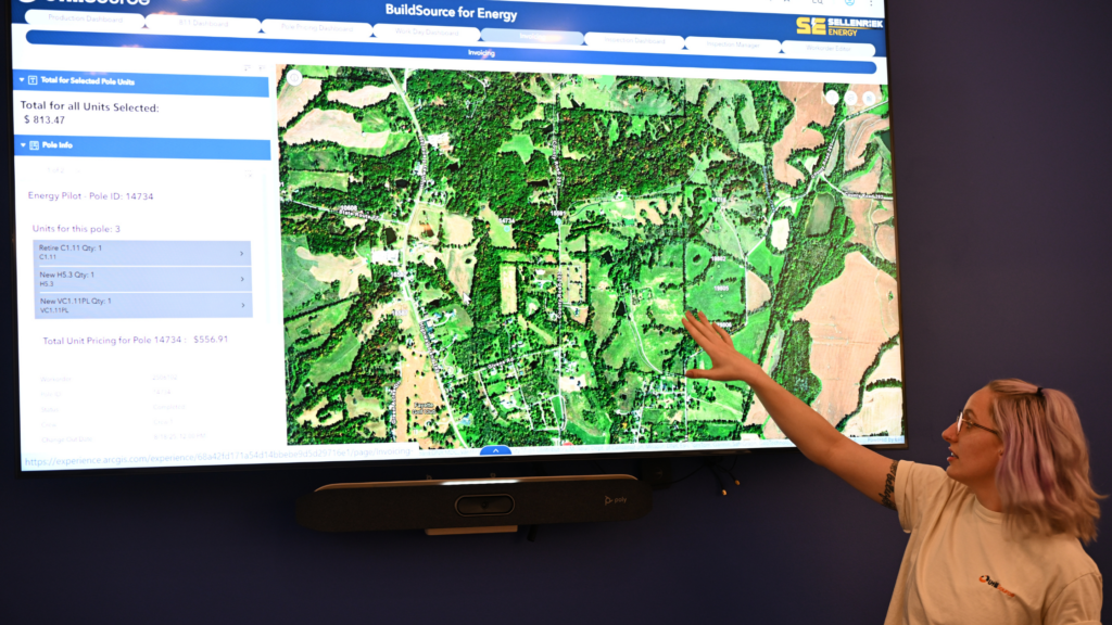
Within UtiliSource’s connected process, BuildSource follows drafting and design, helping move organized project information toward permitting, production mapping, and construction.
GIS can also support a permitting dashboard, giving teams a clearer way to view permitting information alongside the rest of the project.
Permitting Information
Broadband projects may move through different permitting processes depending on the location and scope of the work. Engineering teams need information that supports permit preparation, while project leaders need visibility into the status of those permits.
If permitting information is kept separately from design and construction data, teams may have difficulty understanding what is ready to proceed and what remains dependent on an approval.
Production Maps, Redlines, and Clean-Up Maps
Production maps help translate approved project information into a format that supports construction. Once work begins, the field may generate adjustments that need to be documented through redlines.
Those redlines matter beyond the construction team. Engineering needs to understand changes made during execution, while GIS needs the information required to clean up the map and maintain a more accurate project record.
The information cycle should not stop when construction starts. Construction creates data that must flow back into the project system.
Why Data Becomes a Bottleneck
Data becomes a bottleneck when project information exists but cannot move efficiently between the people who need it.
One common source of difficulty is fragmented storage. Engineering files may live in one system, GIS data in another, permitting information somewhere else, and field updates in emails, marked-up documents, or individual reports. Each source may contain useful information, but the project lacks a clear way to bring it together.
Version control can create another challenge. When a design changes, teams need to know which version reflects the current plan. If an outdated map remains in circulation, a crew or project partner may act on information that no longer matches the project’s direction.
Handoffs also create risk. Information can lose context when it moves from fielding to engineering, engineering to GIS, or GIS to construction. A note that makes sense to the person who collected it may not provide enough detail for the next team to act confidently.
Other warning signs may include:
- Teams repeatedly asking for information that has already been collected
- Field conditions that do not match the documentation provided to construction
- Manual reentry of the same information into multiple systems
- Project leaders relying on separate updates to understand overall progress
- Redlines that are not incorporated into final GIS records
- Uncertainty about permit status or construction readiness
- Delays caused by questions that should have been resolved during an earlier project phase
These issues do not always begin as major failures. A missing update or inconsistent file may seem minor on its own. Across a large broadband program, however, small information gaps can multiply.
Connecting Engineering, GIS, and Construction
Engineering, GIS, and construction perform different roles, but they should not operate as separate information environments.
A connected workflow allows each team to build on the work completed before it:
- Engineering develops the high-level design.
- GIS supports the walk-out map used for fielding.
- Engineering incorporates field information into drafting and design.
- GIS organizes project data through BuildSource.
- Engineering advances permitting documentation.
- GIS supports permitting visibility and production mapping.
- Construction uses the production map to execute the work.
- Construction and engineering document adjustments through redlines.
- GIS incorporates verified changes into a clean-up map for construction records.
This process creates a continuous information path from early planning through completed work.
The goal is not to make every department perform the same function. It is to give each team the information it needs while preserving the context created by the previous team.
Engineering should be able to see what was observed in the field. GIS should be able to organize engineering and construction information geographically. Construction should receive documentation that reflects the most current design and project conditions. Project leaders should be able to understand how those activities connect.
When these functions are aligned, data becomes part of project execution, not an administrative task that happens around it.
Improving Execution Through Better Information
Better information management does not mean collecting every possible data point. It means collecting useful information, structuring it consistently, and making it accessible to the teams responsible for the next decision.
Several practices can support that goal.
Establish Clear Information Ownership
Teams need to know who is responsible for creating, reviewing, updating, and approving each type of project information. Clear ownership reduces the chance that important updates will remain incomplete or be assumed to belong to someone else.
Standardize Field Data Collection
Field information is easier to use when it is collected consistently. Standardized processes help engineering and GIS understand what they are receiving and reduce the need to interpret differently formatted notes from multiple crews or locations.
Connect Data to Location
Broadband projects are inherently geographic. Connecting observations, routes, permits, assets, and construction updates to their locations helps teams understand how different project details relate to one another.
Maintain a Clear Current Record
Teams should have a dependable way to identify the current design, map, or project status. This reduces confusion and allows decisions to be based on the most relevant information available.
Create Feedback Loops
Information should move in both directions. Engineering and GIS provide construction with project documentation, but construction also produces information that engineering and GIS need.
Redlines, field adjustments, and verified installation information should return to the project record rather than remaining isolated with the construction team.
Improve Project Visibility
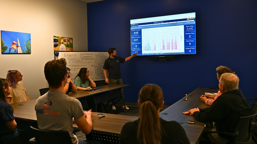
Project visibility is more than a high-level progress percentage. Decision-makers need to understand which areas have been designed, fielded, permitted, released for construction, completed, or updated.
Connected information gives leadership a clearer view of where the project stands and where additional attention may be required.
UtiliSource’s real-time, cloud-based approach to data collection, management, and sharing is designed to help connect project information across teams. The value of that approach is not technology for its own sake. It is the ability to support clearer decisions, smoother execution, and better project visibility.
Better Information Supports More Reliable Delivery
Broadband expansion will continue to require capable engineers, field professionals, GIS specialists, permitting teams, and construction crews. But the effectiveness of those teams increasingly depends on how well project information moves between them.
When data is fragmented, even experienced teams can lose time resolving preventable questions. When information is connected, each phase can provide a stronger foundation for the next.
High-level design informs fielding. Fielding improves detailed design. GIS organizes and visualizes project information. Permitting determines where work can advance. Production maps guide construction. Redlines and clean-up maps preserve what changed in the field.
That is what turns individual project activities into a coordinated delivery process.
Broadband expansion is becoming a data management challenge because the work depends on more information, from more sources, moving between more people. Organizations that treat information as part of the infrastructure—not simply a byproduct of the work—will be better positioned to manage complexity and deliver projects with greater clarity.
Broadband planning must coordinate engineering, field conditions, GIS data, permitting, construction requirements, and project updates across multiple teams and locations. As programs expand, the amount of information and number of handoffs increase. Planning becomes more complex when those sources are not organized within a connected process.
GIS connects project information to specific geographic locations. It can support walk-out maps, field data, network designs, permitting visibility, production maps, construction updates, and final clean-up maps. This gives teams a clearer view of how project information relates across the deployment area.
The exact requirements depend on the project, but construction generally needs current engineering documentation, field-verified information, applicable permitting approvals, production maps, and relevant utility or location data. The information should reflect the most current project conditions available before work is released.
Engineering can use GIS to understand routes, existing conditions, field observations, project boundaries, and other location-based information. GIS also provides a structure for connecting engineering designs with permitting, production mapping, and construction records.
Field verification helps determine whether planning information matches conditions at the project location. It gives engineering and GIS teams additional context for refining designs and preparing construction documentation. GPS mapping, RTK, and locating services may also support the collection of more useful location information.
ISPs can improve visibility by connecting engineering, GIS, permitting, and construction information; defining ownership for updates; standardizing data collection; maintaining clear version control; and creating feedback loops between office and field teams. A connected project record makes it easier to see what has been planned, approved, released, constructed, or changed.