Seeing paint and flags across a jobsite can create a sense that the underground environment has been fully identified. Those markings are an essential part of damage prevention, but they do not remove every source of uncertainty below the surface.
Utility markings communicate where a facility is believed to be based on the records, access, equipment, site conditions, and information available during the locate. The actual underground environment may be more complicated.
Incomplete records, abandoned facilities, private lines, changing field conditions, and human error can all contribute to a utility strike, even after the locating process has taken place. Preventing damage therefore requires more than completing a locate request. It depends on coordination among facility owners, locators, designers, project managers, and the crews performing the excavation.
Markings Are an Important Step, Not a Guarantee
Paint and flags give crews critical information about the approximate location of underground facilities. They help them plan their work, identify potential conflicts, and determine where additional caution or verification may be necessary.
However, surface markings cannot reveal everything about an underground facility. They may not communicate its exact depth, condition, ownership, or full path beneath the site. A facility may bend, change elevation, cross another line, or differ from what existing records show.
That is why markings should inform field decisions rather than replace them. Crews still need to compare the markings with project plans, visible utility features, site conditions, and what they encounter during excavation.
Why Utility Strikes Can Still Happen
There is rarely one universal explanation for underground utility damage. Several conditions can create gaps between the marked surface and the actual underground environment.
Incomplete or Outdated Records
Utility records are one of the resources used to understand where facilities may be located. If those records are incomplete, outdated, or based on older construction information, they may not reflect current field conditions.
A facility could have been rerouted during a repair, installed differently from its original design, or recorded without enough detail to support future work. Information can also become disconnected as infrastructure changes ownership or passes through multiple projects and contractors.
Abandoned or Undocumented Facilities
Older project areas may contain abandoned lines that remain underground. Some may appear active to locating equipment, while others may not be represented in available records at all.
Undocumented facilities create a similar problem. If there is no reliable record showing that a line exists, stakeholders may begin the project with an incomplete understanding of the site.
Private Utility Lines
Not every underground facility is necessarily included within the same locating process. Privately owned lines can include infrastructure beyond a utility’s ownership boundary or facilities installed for an individual property, campus, or commercial site.
Project teams need to understand which facilities are covered by the requested locate and whether additional private locating or investigation is appropriate.
Challenging Field Conditions
Field conditions can affect both locating and excavation. Congested utility corridors, reinforced surfaces, standing water, terrain, accessibility, and interference from nearby infrastructure may make a facility more difficult to identify or trace.
Conditions can also change after markings are placed. Weather, traffic, mowing, grading, or continuing construction activity can disturb or remove paint and flags. When markings are no longer clear, crews lose part of the information they need to work safely.
Locating or Interpretation Errors
Damage prevention relies on people making careful decisions. A line may be marked incorrectly, a signal may be misunderstood, or available information may be interpreted in a way that does not match actual conditions.
Crews can also misread markings or make assumptions about where a facility should continue underground. A line that appears to follow a predictable path may turn, rise, or cross the planned excavation area unexpectedly.
Recognizing the possibility of error is not about assigning blame. It is about building a process that catches inconsistencies before they become damages.
Damage Prevention Is a Shared Responsibility
Facility owners, locators, designers, excavators, and project managers each contribute different information and responsibilities.
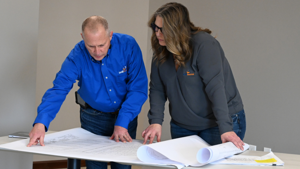
Facility owners maintain infrastructure information and help define what needs to be located. Locators translate available records and field signals into markings. Designers and engineers use known utility information to evaluate conflicts and develop workable plans. Project managers coordinate schedules, stakeholders, and changing conditions. Excavators are responsible for evaluating what they see in the field and working appropriately around identified facilities.
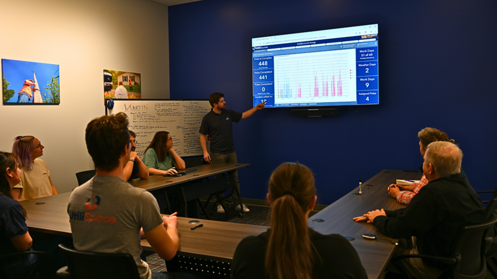
The process becomes more reliable when information moves between these groups instead of remaining in separate systems. A discrepancy noticed by a locator may affect design. A condition discovered by an excavation crew may need to be documented for the facility owner. A project manager may need to pause or redirect work until the conflict is understood.
No single participant has every piece of the underground picture.
What Should Crews Do When Conditions Do Not Match?
Unexpected field conditions should be treated as new information, not as an obstacle to work around without further evaluation.
Warning signs may include markings that end unexpectedly, visible utility features that do not correspond with the marked route, an exposed facility that differs from the plans, or evidence of another line within the excavation area.
When something does not make sense, crews should follow the applicable project and safety procedures. Depending on the circumstances, that may include pausing work, protecting the area, notifying the appropriate project contacts, requesting clarification or renewed locating, and documenting the discrepancy.
Markings must also remain visible for as long as they are needed. Project teams should plan for preservation and respond when paint or flags have been disturbed, removed, or made unclear by changing site conditions.
Turning Field Findings Into Better Damage Prevention
A near miss, discrepancy, or utility strike can reveal a weakness in records, communication, locating, planning, or field execution. The value of that information depends on whether it is documented and shared.
A strong investigation looks beyond the immediate event. It considers what information was available, how it moved between stakeholders, what crews observed, and where expectations differed from actual conditions. Photographs, field notes, mapping updates, locate information, and project records can help establish a clearer account.
That information can then improve future work. Corrected mapping can support later designs. Documented field conditions can help future locators and excavation crews. Patterns across multiple incidents may show where a process, dataset, or communication practice needs attention.
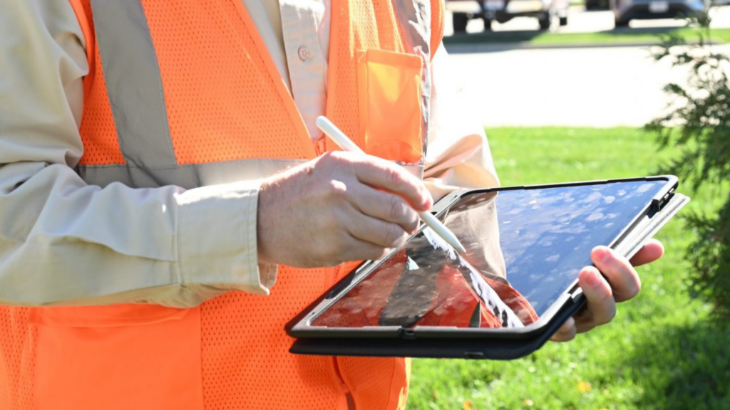
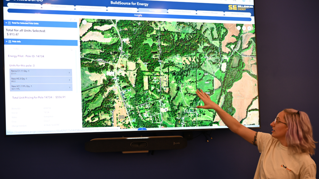
UtiliSource’s emphasis on real-time, cloud-based data collection, management, and sharing supports this broader view of damage prevention. When stakeholders can work from stronger information and field discoveries can flow back into the project record, teams are better equipped to recognize risks before excavation continues.
Markings Begin the Field Conversation
Utility markings are one of the most visible parts of damage prevention, but they are not the entire process. They must be supported by reliable records, thoughtful design, utility coordination, field awareness, clear communication, and appropriate responses to unexpected conditions.
The better question is not simply whether a site was marked. It is whether every stakeholder understood the available information, protected it, questioned inconsistencies, and shared new findings.
Preventing utility strikes requires teams to treat markings as an important starting point, and to remain attentive to what the field may reveal.
Surface markings help communicate the approximate horizontal location of an underground facility. They should not be treated as confirmation of exact depth. Facility depth can vary because of installation conditions, grading, erosion, repairs, and later construction.
The crew should follow applicable project and safety procedures, which may include stopping work, protecting the area, notifying the appropriate contacts, documenting the condition, and requesting clarification or renewed locating before proceeding.
Weather, traffic, mowing, grading, and other construction activity can disturb paint and flags. Project teams should monitor the condition of markings and respond when they are no longer clear enough to support safe work.
Utility coordination helps bring facility information, design requirements, schedules, field conditions, and stakeholder responsibilities together. This can identify conflicts earlier and help project teams respond before those conflicts reach active excavation.
GIS can organize and display utility records, field observations, design information, and updated mapping. Its value increases when data is kept current and made accessible to the people planning and performing the work.
Records and designs may not fully reflect existing conditions. Field verification helps teams compare planned work with visible features, markings, and actual site conditions before and during construction.